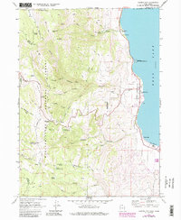
1969 Map of Garden City
USGS Topo · Published 1986About this map
Bear Lake dominates the eastern edge of this landscape, its turquoise waters meeting a shoreline where the settlements of Garden City and Lakota were established. In the late 1960s, this area served as a primary gateway between the high country of the Cache National Forest and the recreational shores of Pickelville. The map illustrates a transition from the structured street grid of the village to the complex drainage systems of Garden City Canyon and Hodges Canyon.
Find a feature on this map
47 named features on this map. Tap any name to fly to it.
Don’t see what you’re looking for? This feature index may not catch every label — zoom into the map to look around manually.
Map Details
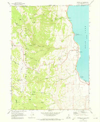
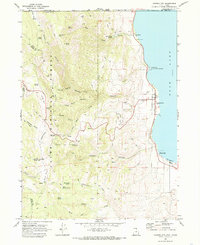
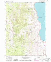
Editions of this 1969 Garden City Map
4 editions found
Other maps of this area

1909 · Montpelier
USGS Topo · 1:125,000

1911 · Montpelier
USGS Topo · 1:125,000

1912 · Randolph
USGS Topo · 1:125,000

1914 · Logan
USGS Topo · 1:125,000

1915 · Preston
USGS Topo · 1:96,000

1916 · Logan
USGS Topo · 1:125,000

1918 · Preston
USGS Topo · 1:125,000

1954 · Ogden
USGS Topo · 1:250,000

1955 · Preston
USGS Topo · 1:250,000

1958 · Ogden
USGS Topo · 1:250,000