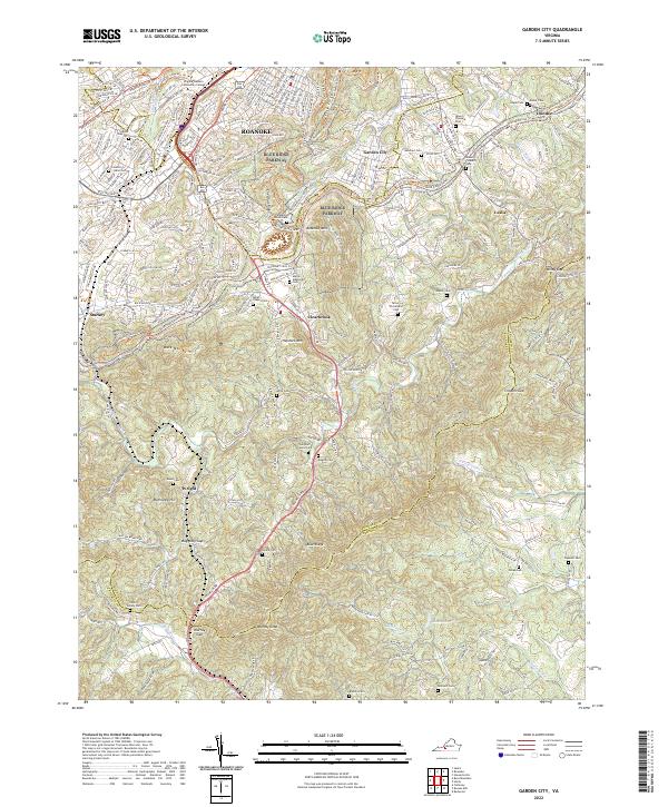
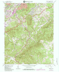
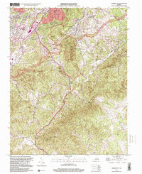
2022 Map of Garden City
USGS Topo · Published 2022About this map
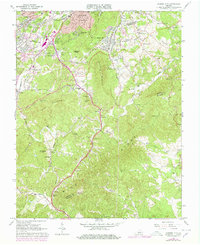
Roanoke and its suburban margins transition into the steep slopes of the Blue Ridge Mountains in this contemporary survey. The southern expansion of the city is defined by high-elevation landmarks such as Stone Mtn, Roanoke Mtn, and Buck Mtn, while the Blue Ridge Parkway snakes through the center of the terrain. The landscape is dotted with numerous small family burial grounds and community cemeteries, including the Hartman Family Cem, Boitnott Cem, and Miller Chapel Cem, which offer significant genealogical value for families from the Roanoke County and Franklin County borderlands.
Find a feature on this map
53 named features on this map. Tap any name to fly to it.
Don’t see what you’re looking for? This feature index may not catch every label — zoom into the map to look around manually.
Map Details
Editions of this 2022 Garden City Map
This is the sole edition of this map. No revisions or reprints were ever made.
Historical Maps of Mount Pleasant Through Time
15 maps found
1929 Salem
Roanoke County, VA
1932 Salem
Roanoke County, VA
1963 Bent Mountain
Roanoke County, VA
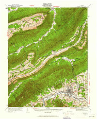
1963 Garden City
Roanoke County, VA
1963 Salem
Roanoke County, VA

1977 Bent Mountain
Roanoke County, VA
1977 Garden City
Roanoke County, VA
1977 Salem
Roanoke County, VA
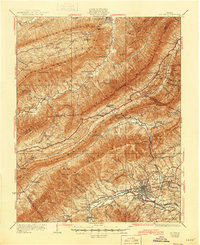
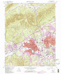
1984 Garden City
Roanoke County, VA
1994 Salem
Roanoke County, VA
1996 Bent Mountain
Roanoke County, VA
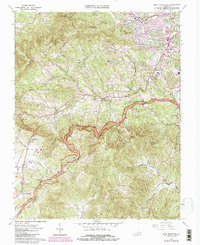
1999 Garden City
Roanoke County, VA
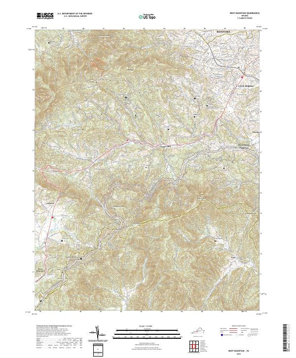
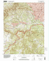
2022 Bent Mountain
Roanoke County, VA
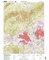
2022 Garden City
Roanoke County, VA
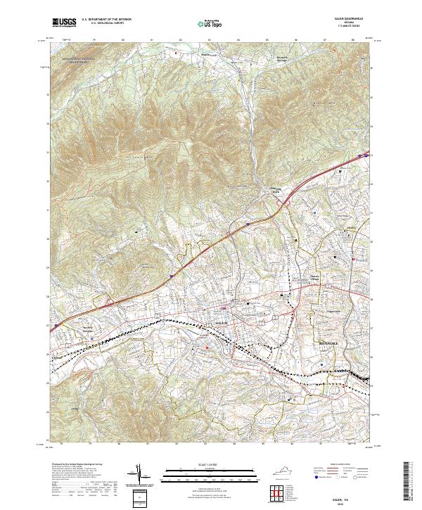
2022 Salem
Roanoke County, VA