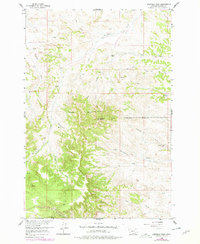
1958 Map of Garfield Peak
USGS Topo · Published 1978About this map
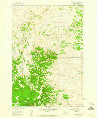
The Northern Cheyenne Indian Reservation Boundary cuts through the center of this landscape, marking a significant transition in land management and historical geography in Rosebud County. Rising above the broken terrain, Garfield Peak serves as a prominent landmark overlooking a network of seasonal drainages including Greenleaf Creek, Hollowbreast Creek, and Bean Creek. The presence of the Burning Coal Vein Area and several scattered Oil Wells highlights the geological character of this region during the mid-20th century, where natural resources and ranching history intersect.
Find a feature on this map
22 named features on this map. Tap any name to fly to it.
Don’t see what you’re looking for? This feature index may not catch every label — zoom into the map to look around manually.
Map Details
Editions of this 1958 Garfield Peak Map
3 editions found
Other maps of this area

1954 · Hardin
USGS Topo · 1:250,000

1957 · Hardin
USGS Topo · 1:250,000

1958 · Hardin
USGS Topo · 1:250,000

1958 · Garfield Peak
USGS Topo · 1:24,000

1958 · Fisher Butte
USGS Topo · 1:24,000

1958 · Badger Peak
USGS Topo · 1:24,000

1958 · Hollowwood Creek
USGS Topo · 1:24,000

1966 · Ashland
USGS Topo · 1:24,000

1966 · Ashland NE
USGS Topo · 1:24,000

1971 · Colstrip SE
USGS Topo · 1:24,000