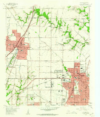
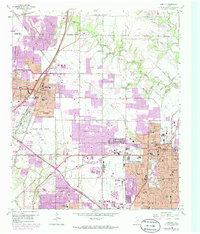
1959 Map of Garland
USGS Topo · Published 1960About this map
Garland and Richardson are captured here at a moment of significant mid-century suburban expansion, showing a landscape transitioning from rural cotton and grain fields to structured residential blocks. Small, established communities like Audelia, Bethard, and Shiloh remain distinct amidst the encroaching grid of Dallas. The region’s deep agricultural roots are still visible through features like Big Springs Ch and family-named cemeteries including Blewett Cem and Mc Cree Cem.
Find a feature on this map
89 named features on this map. Tap any name to fly to it.
Don’t see what you’re looking for? This feature index may not catch every label — zoom into the map to look around manually.
Map Details
Editions of this 1959 Garland Map
5 editions found
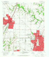
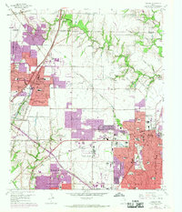
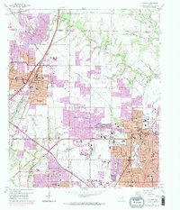
Other maps of this area

1891 · Dallas
USGS Topo · 1:125,000

1893 · Dallas
USGS Topo · 1:125,000

1924 · Mc Kinney 4-d
USGS Topo · 1:48,000

1929 · Frisco
USGS Topo · 1:62,500

1929 · McKinney
USGS Topo · 1:62,500

1931 · Carrollton
USGS Topo · 1:62,500

1954 · Dallas
USGS Topo · 1:250,000

1954 · Sherman
USGS Topo · 1:250,000

1957 · White Rock Lake
USGS Topo · 1:24,000

1958 · Dallas
USGS Topo · 1:250,000