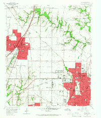
1959 Map of Garland
USGS Topo · Published 1966About this map
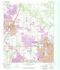
Garland and Richardson dominate the landscape of Dallas County in the late 1950s, appearing here at a moment of significant suburban expansion. The built-up areas, shaded in red, show the residential grids of Richardson Heights and various school districts beginning to fill the spaces between long-established rail lines. Transport and commerce are defined by the St Louis Southwestern and the Texas and New Orleans railroads, which helped anchor settlements like Buckingham and Naaman.
Find a feature on this map
66 named features on this map. Tap any name to fly to it.
Don’t see what you’re looking for? This feature index may not catch every label — zoom into the map to look around manually.
Map Details
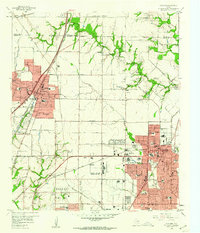
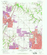
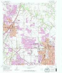
Editions of this 1959 Garland Map
5 editions found
Other maps of this area

1891 · Dallas
USGS Topo · 1:125,000

1893 · Dallas
USGS Topo · 1:125,000

1924 · Mc Kinney 4-d
USGS Topo · 1:48,000

1929 · Frisco
USGS Topo · 1:62,500

1929 · McKinney
USGS Topo · 1:62,500

1931 · Carrollton
USGS Topo · 1:62,500

1954 · Dallas
USGS Topo · 1:250,000

1954 · Sherman
USGS Topo · 1:250,000

1957 · White Rock Lake
USGS Topo · 1:24,000

1958 · Dallas
USGS Topo · 1:250,000