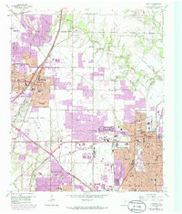
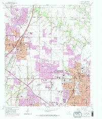
1959 Map of Garland
USGS Topo · Published 1986About this map
Garland and its neighboring North Texas municipalities appear during a period of massive suburbanization, shown through extensive purple-tinted urban updates layered over the original 1959 topography. The expansion of Richardson and Dallas is framed by the heavy infrastructure of the Southern Pacific and Missouri Kansas Texas railroads. Between these growing residential centers, the landscape still retains elements of its earlier agricultural character, with scattered quarries and gravel pits near the winding course of Duck Creek. Notable local landmarks like Williams Stadium and the Radio Towers (KRLD) provide distinct reference points for researchers. Genealogists will find particular value in the survey's preservation of older burial grounds such as Blewett Cem, Fields Cem, and McCree Cem, which often represent the earliest established family plots in these communities before the mid-century building boom transformed the region.
Find a feature on this map
77 named features on this map. Tap any name to fly to it.
Don’t see what you’re looking for? This feature index may not catch every label — zoom into the map to look around manually.
Map Details
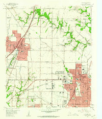
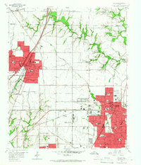
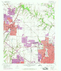
Editions of this 1959 Garland Map
5 editions found
Other maps of this area

1891 · Dallas
USGS Topo · 1:125,000

1893 · Dallas
USGS Topo · 1:125,000

1924 · Mc Kinney 4-d
USGS Topo · 1:48,000

1929 · Frisco
USGS Topo · 1:62,500

1929 · McKinney
USGS Topo · 1:62,500

1931 · Carrollton
USGS Topo · 1:62,500

1954 · Dallas
USGS Topo · 1:250,000

1954 · Sherman
USGS Topo · 1:250,000

1957 · White Rock Lake
USGS Topo · 1:24,000

1958 · Dallas
USGS Topo · 1:250,000