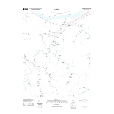
2013 Map of Garrison
USGS Topo · Published 2013About this map
The Ohio River frontage defines the northern border of this Lewis County landscape, where river commerce is evidenced by Morrisons Landing, Elliots Landing, and McCormack Landing. The settlement of Garrison serves as a local hub near the mouth of Kinniconick Cr, while the namesake settlement of Tannery sits further south along the same creek system. This topography is characterized by a dense network of hollows, many bearing family names that provide significant leads for local genealogists, including John Howard Hollow, Sherman Hollow, and Maynard Hollow.
Find a feature on this map
137 named features on this map. Tap any name to fly to it.
Don’t see what you’re looking for? This feature index may not catch every label — zoom into the map to look around manually.
Map Details
Editions of this 2013 Garrison Map
This is the sole edition of this map. No revisions or reprints were ever made.
Other maps of this area

1915 · Garrison
USGS Topo · 1:62,500

1918 · Garrison
USGS Topo · 1:62,500

1919 · Vanceburg
USGS Topo · 1:62,500

1949 · Pond Run
USGS Topo · 1:24,000

1949 · Vanceburg
USGS Topo · 1:62,500

1949 · Garrison
USGS Topo · 1:24,000

1949 · Friendship
USGS Topo · 1:24,000

1949 · Buena Vista
USGS Topo · 1:24,000

1949 · Vanceburg
USGS Topo · 1:24,000

1949 · Brushart
USGS Topo · 1:24,000