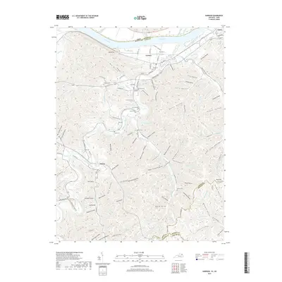
2019 Map of Garrison
USGS Topo · Published 2019About this map
The Ohio River forms the northern boundary of this Lewis County landscape, where the settlement of Garrison sits at the junction of the CSX Transportation railroad and several local routes. To the west, Tannery marks a traditional point of trade along the winding path of Kinniconick Creek. The terrain is characterized by a dense network of named hollows and ridges, such as Dummit Ridge and First Hollow, which reflect a history of small-scale agriculture and timber harvesting in the Appalachian foothills.
Find a feature on this map
160 named features on this map. Tap any name to fly to it.
Don’t see what you’re looking for? This feature index may not catch every label — zoom into the map to look around manually.
Map Details
Editions of this 2019 Garrison Map
This is the sole edition of this map. No revisions or reprints were ever made.
Other maps of this area

1915 · Garrison
USGS Topo · 1:62,500

1918 · Garrison
USGS Topo · 1:62,500

1919 · Vanceburg
USGS Topo · 1:62,500

1949 · Pond Run
USGS Topo · 1:24,000

1949 · Vanceburg
USGS Topo · 1:62,500

1949 · Garrison
USGS Topo · 1:24,000

1949 · Friendship
USGS Topo · 1:24,000

1949 · Buena Vista
USGS Topo · 1:24,000

1949 · Vanceburg
USGS Topo · 1:24,000

1949 · Brushart
USGS Topo · 1:24,000