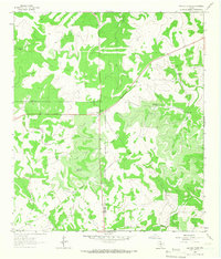
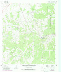
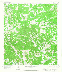
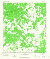
1963 Map of Garven Store
USGS Topo · Published 1966This historical map portrays the area of Garven Store in 1963, primarily covering Kerr County as well as portions of Real County. Featuring a scale of 1:24000, this map provides a highly detailed snapshot of the terrain, roads, buildings, counties, and historical landmarks in the Garven Store region at the time. Published in 1966, it is one of 2 known editions of this map due to revisions or reprints.
Find a feature on this map
12 named features on this map. Tap any name to fly to it.
Don’t see what you’re looking for? This feature index may not catch every label — zoom into the map to look around manually.
Map Details
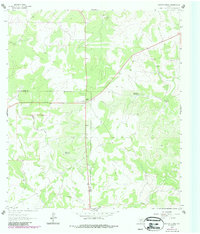
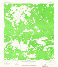
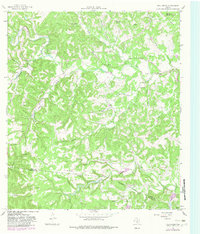
Editions of this 1963 Garven Store Map
2 editions found
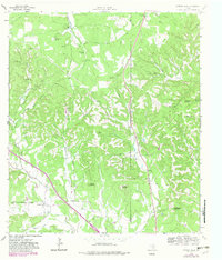
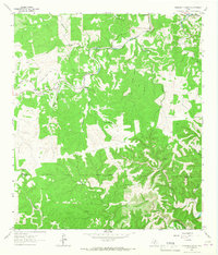
Historical Maps of Real County Through Time
14 maps found
1963 Garven Store
Kerr County, TX
1963 Y O Ranch
Kerr County, TX
1964 Bee Caves Creek
Kerr County, TX
1964 Boneyard Draw
Kerr County, TX
1964 Contrary Creek
Kerr County, TX
1964 Cypress Creek
Kerr County, TX
1964 Diamond S Ranch
Kerr County, TX
1964 Echo Hill Ranch
Kerr County, TX
1964 Fall Creek
Kerr County, TX
1964 Hunt
Kerr County, TX
1964 Legion
Kerr County, TX
1964 Live Oak Ranch
Kerr County, TX
1964 Mountain Home
Kerr County, TX
1964 Well Hollow
Kerr County, TX