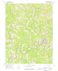
1965 Map of Gassaway
USGS Topo · Published 1977About this map
The Elk River defines the central topography of this mid-1960s Braxton County survey, carving deep meanders that dictated the development of river-dependent communities like Gassaway and Frametown. The Baltimore and Ohio railroad tracks hug the riverbank, tracing a lifeline of commerce through the valley. Away from the water, the landscape rises into complex ridge systems like Sugar Knob, where numerous gas wells and scattered country institutions mark the rural interior.
Find a feature on this map
73 named features on this map. Tap any name to fly to it.
Don’t see what you’re looking for? This feature index may not catch every label — zoom into the map to look around manually.
Map Details
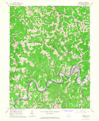
Editions of this 1965 Gassaway Map
2 editions found
Other maps of this area

1893 · Sutton
USGS Topo · 1:125,000

1906 · Glenville
USGS Topo · 1:62,500

1906 · Burnsville
USGS Topo · 1:62,500

1908 · Gassaway
USGS Topo · 1:48,000

1908 · Sutton
USGS Topo · 1:48,000

1910 · Sutton Special
USGS Topo · 1:62,500

1910 · Gassaway
USGS Topo · 1:62,500

1925 · Glenville
USGS Topo · 1:62,500

1925 · Burnsville
USGS Topo · 1:62,500

1927 · Burnsville
USGS Topo · 1:62,500