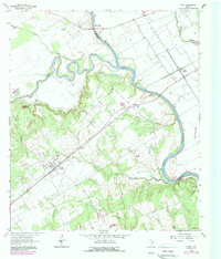
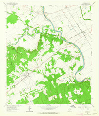
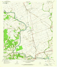
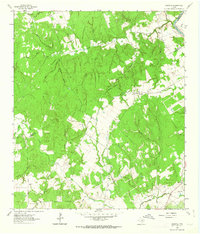
1962 Map of Gause
USGS Topo · Published 1989About this map
The confluence of the Little River and the Brazos River anchors this landscape along the border of Robertson and Milam Counties. The settlement of Gause sits prominently along the Missouri Pacific rail line, serving as a focal point for local transport and commerce. The topography is defined by the distinct elevations of Sugarloaf Mountain and Long Mountain, which rise above the surrounding creek drainages. Historical community landmarks are scattered throughout the countryside, including Stephen Chapel, Tidwell Sch, and Mt Tabor Ch. The map reveals a rural economy rooted in land and water, with features like Gravel Pits and numerous flowing wells. Burial grounds such as Nashville Cem and Armstrong Cem provide essential data points for genealogical research, while the proximity of Valley Junction highlights the importance of the regional rail network during the early 1960s.
Find a feature on this map
30 named features on this map. Tap any name to fly to it.
Don’t see what you’re looking for? This feature index may not catch every label — zoom into the map to look around manually.
Map Details
Editions of this 1962 Gause Map
2 editions found
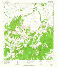
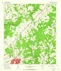
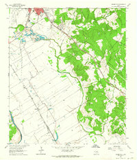
Other maps of this area

1954 · Austin
USGS Topo · 1:250,000
1956 · Caldwell
USGS Topo · 1:62,500
1956 · Milano
USGS Topo · 1:62,500
1961 · Mumford
USGS Topo · 1:24,000
1961 · Hanover
USGS Topo · 1:24,000
1961 · Hearne North
USGS Topo · 1:24,000
1961 · Hearne South
USGS Topo · 1:24,000
1962 · Goodwill
USGS Topo · 1:24,000
1962 · Calvert
USGS Topo · 1:24,000
1962 · Maysfield
USGS Topo · 1:24,000