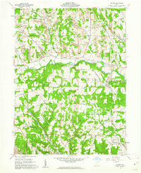
1960 Map of Gavers
USGS Topo · Published 1962About this map
The West Fork Little Beaver Creek meanders through this portion of Columbiana County, defining a landscape heavily influenced by both early transport and the extraction industry of the mid-20th century. Evidence of the region's 19th-century infrastructure is preserved in the Sandy-Beaver Canal Tunnel (Abandoned) and a Covered Bridge crossing the creek. The map also documents the significant impact of surface mining, with numerous Strip Mines dotting the hillsides near Dungannon and Gavers.
Find a feature on this map
45 named features on this map. Tap any name to fly to it.
Don’t see what you’re looking for? This feature index may not catch every label — zoom into the map to look around manually.
Map Details
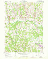
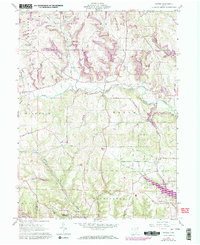
Editions of this 1960 Gavers Map
Other maps of this area

1904 · Wellsville
USGS Topo · 1:62,500

1905 · Salineville
USGS Topo · 1:62,500

1907 · Columbiana
USGS Topo · 1:62,500

1909 · Lisbon
USGS Topo · 1:62,500

1909 · Columbiana
USGS Topo · 1:62,500

1937 · Wellsville
USGS Topo · 1:62,500

1944 · Wellsville
USGS Topo · 1:62,500

1951 · Canton
USGS Topo · 1:250,000

1953 · Canton
USGS Topo · 1:250,000

1957 · Canton
USGS Topo · 1:250,000