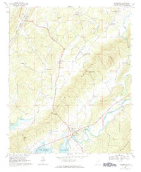
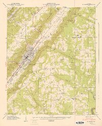
1967 Map of Gaylesville
USGS Topo · Published 1984About this map
Gaylesville sits near the southern bend of the Chattooga River, serving as a central hub in a landscape defined by the parallel elevations of Shinbone Ridge and the Broomtown Valley. The topography captured here reflects a mid-century Alabama countryside where water management and agriculture meet, notably shown by the expanse of the Weiss Reservoir at the southern edge of the sheet.
Find a feature on this map
47 named features on this map. Tap any name to fly to it.
Don’t see what you’re looking for? This feature index may not catch every label — zoom into the map to look around manually.
Map Details
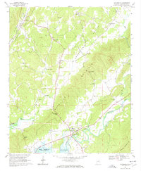
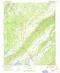
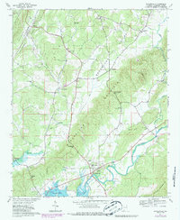
Editions of this 1967 Gaylesville Map
4 editions found
Other maps of this area

1886 · Rome
USGS Topo · 1:125,000

1893 · Fort Payne
USGS Topo · 1:125,000

1898 · Rome
USGS Topo · 1:125,000

1898 · Fort Payne
USGS Topo · 1:125,000

1899 · Rome
USGS Topo · 1:125,000

1900 · Fort Payne
USGS Topo · 1:125,000

1904 · Rome
USGS Topo · 1:125,000

1946 · Ft Payne
USGS Topo · 1:24,000
1947 · Ft Payne
USGS Topo · 1:24,000

1955 · Rome
USGS Topo · 1:250,000