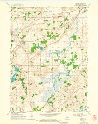
1960 Map of Genesee
USGS Topo · Published 1964About this map
Genesee and Waukesha townships are defined here by a transition from rolling glacial uplands to the marshy lowlands of the Fox River and Pebble Creek. During the early 1960s, this area maintained a rural character shaped by both agriculture and early industry, evidenced by the numerous Gravel Pits and Quarries dotting the landscape. The rail network remains a central feature, with the Chicago Milwaukee St Paul and Pacific serving the hamlet of Genesee Depot and the Chicago and North Western passing through the northern section near Wales.
Find a feature on this map
37 named features on this map. Tap any name to fly to it.
Don’t see what you’re looking for? This feature index may not catch every label — zoom into the map to look around manually.
Map Details
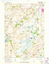
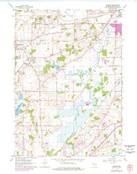
Editions of this 1960 Genesee Map
3 editions found
Other maps of this area

1891 · Muskego
USGS Topo · 1:62,500

1892 · Waukesha
USGS Topo · 1:62,500

1892 · Oconomowoc
USGS Topo · 1:62,500

1892 · Eagle
USGS Topo · 1:62,500

1894 · Eagle
USGS Topo · 1:62,500

1897 · Eagle
USGS Topo · 1:62,500

1901 · Waukesha
USGS Topo · 1:62,500

1901 · Muskego
USGS Topo · 1:62,500

1906 · Eagle
USGS Topo · 1:62,500

1906 · Waukesha
USGS Topo · 1:62,500