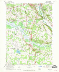
1968 Map of Geneva
USGS Topo · Published 1970About this map
State Game Lands No 213 dominates the central landscape of this western Pennsylvania study, following the winding course of Conneaut Marsh and the Conneaut Outlet. The map captures a moment of infrastructure transition as Interstate 79 bisects the region, crossing the marshlands and providing a modern corridor alongside older local landmarks like the Drive-in Theater and Port Meadville Airport. In the surrounding townships of Vernon and Union, small rural crossroads such as Keborts Corners and Center Road Corners persist near several family and church cemeteries, including St Brigids Cem and Watson Run Cem. The rail network is prominent with the Erie-Lackawanna and Bessemer and Lake Erie railroads serving the area, highlighting the region's historical reliance on transit for both agriculture and the gravel industry found at the local Gravel Pits.
Find a feature on this map
62 named features on this map. Tap any name to fly to it.
Don’t see what you’re looking for? This feature index may not catch every label — zoom into the map to look around manually.
Map Details
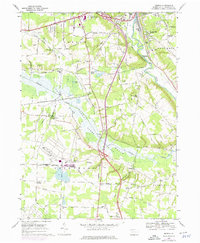
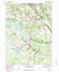
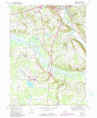
Editions of this 1968 Geneva Map
4 editions found
Other maps of this area

1906 · Linesville
USGS Topo · 1:62,500

1908 · Shenango
USGS Topo · 1:62,500

1908 · Linesville
USGS Topo · 1:62,500

1911 · Stoneboro
USGS Topo · 1:62,500

1913 · Stoneboro
USGS Topo · 1:62,500

1923 · Meadville
USGS Topo · 1:62,500

1925 · Meadville
USGS Topo · 1:62,500

1943 · Meadville
USGS Topo · 1:62,500

1943 · Stoneboro
USGS Topo · 1:62,500

1950 · Cleveland
USGS Topo · 1:250,000
Featured Places
- Meadville, PA
- West Mead Township, PA
- Union Township, PA
- Greenwood Township, PA
- East Fairfield Township, PA