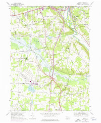
1968 Map of Geneva
USGS Topo · Published 1975About this map
French Creek and the meandering Conneaut Outlet define the hydrology of this Crawford County landscape, where the marshy terrain of State Game Lands No 213 transitions into upland agricultural and industrial spaces. The mid-century infrastructure is anchored by the Bessemer and Lake Erie and Erie-Lackawanna railroads, which facilitated local transport and commerce through settlements like Geneva and Buchanan Station. The map records a variety of cultural landmarks from the era, including the Drive-in Theater and Port Meadville Airport near the northern boundary.
Find a feature on this map
67 named features on this map. Tap any name to fly to it.
Don’t see what you’re looking for? This feature index may not catch every label — zoom into the map to look around manually.
Map Details
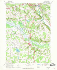
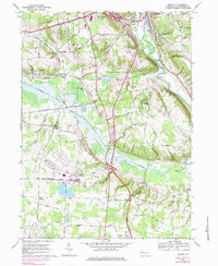
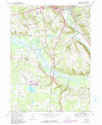
Editions of this 1968 Geneva Map
4 editions found
Other maps of this area

1906 · Linesville
USGS Topo · 1:62,500

1908 · Shenango
USGS Topo · 1:62,500

1908 · Linesville
USGS Topo · 1:62,500

1911 · Stoneboro
USGS Topo · 1:62,500

1913 · Stoneboro
USGS Topo · 1:62,500

1923 · Meadville
USGS Topo · 1:62,500

1925 · Meadville
USGS Topo · 1:62,500

1943 · Meadville
USGS Topo · 1:62,500

1943 · Stoneboro
USGS Topo · 1:62,500

1950 · Cleveland
USGS Topo · 1:250,000
Featured Places
- Meadville, PA
- West Mead Township, PA
- Union Township, PA
- Greenwood Township, PA
- East Fairfield Township, PA