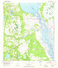
1953 Map of Geneva
USGS Topo · Published 1965About this map
Geneva and Chuluota anchor this interior Florida landscape during the early 1950s, a period before significant modern development altered the region’s water-dominated geography. The map reveals an intricate network of waterways where the St Johns River flows through the expansive Lake Harney and the braided, marshy reaches of Puzzle Lake. These basins are fed by winding tributaries like the Econlockhatchee River and Mills Creek. A series of archaeological and terrain features, including Palmer-Taylor Mound, Noah Mound, and Moccasin Mound, are documented along the riverbanks, suggesting a long history of human presence in these wetlands. Further south, near the settlement of Chuluota, the Chuluota Cem and Mills Lake reflect the established local community of the era. The presence of numerous Spoil Banks and a Levee near the river indicates active water management and dredging operations in this low-lying territory.
Find a feature on this map
39 named features on this map. Tap any name to fly to it.
Don’t see what you’re looking for? This feature index may not catch every label — zoom into the map to look around manually.
Map Details
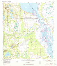
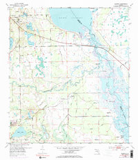
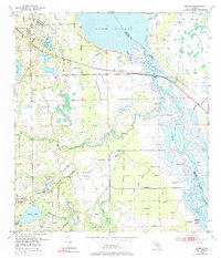
Editions of this 1953 Geneva Map
5 editions found
Other maps of this area

1949 · Osceola
USGS Topo · 1:24,000

1950 · Maytown
USGS Topo · 1:24,000

1950 · Aurantia
USGS Topo · 1:24,000

1953 · Geneva
USGS Topo · 1:24,000

1953 · Titusville SW
USGS Topo · 1:24,000

1953 · Oviedo SW
USGS Topo · 1:24,000

1953 · Bithlo
USGS Topo · 1:24,000

1955 · Orlando
USGS Topo · 1:250,000

1956 · Oviedo
USGS Topo · 1:24,000

1957 · Orlando
USGS Topo · 1:250,000