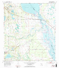
1953 Map of Geneva
USGS Topo · Published 1985About this map
Geneva and Chuluota anchor this landscape of the mid-20th century, where the intricate wetlands of the St Johns River meet the rising terrain of eastern Seminole County. The map documents a complex aquatic environment defined by Lake Harney and Puzzle Lake, connected by numerous sloughs and branches like Jordan Slough and Mills Creek.
Find a feature on this map
36 named features on this map. Tap any name to fly to it.
Don’t see what you’re looking for? This feature index may not catch every label — zoom into the map to look around manually.
Map Details
Editions of this 1953 Geneva Map
5 editions found
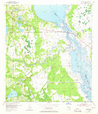
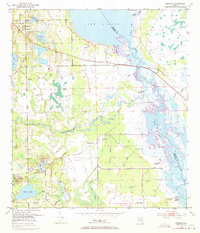
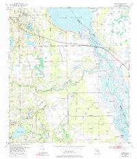
Other maps of this area

1949 · Osceola
USGS Topo · 1:24,000

1950 · Maytown
USGS Topo · 1:24,000

1950 · Aurantia
USGS Topo · 1:24,000

1953 · Geneva
USGS Topo · 1:24,000

1953 · Titusville SW
USGS Topo · 1:24,000

1953 · Oviedo SW
USGS Topo · 1:24,000

1953 · Bithlo
USGS Topo · 1:24,000

1955 · Orlando
USGS Topo · 1:250,000

1956 · Oviedo
USGS Topo · 1:24,000

1957 · Orlando
USGS Topo · 1:250,000