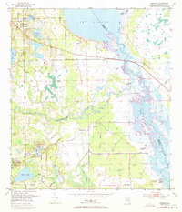
1953 Map of Geneva
USGS Topo · Published 1972About this map
Geneva and Chuluota anchor this survey of the St. Johns River basin during the mid-20th century. The landscape is defined by its complex hydrologic network, where the Econlockhatchee River and numerous tributaries like Mills Creek and Jackson Creek drain into the sprawling waters of Lake Harney and Puzzle Lake. The map reveals a significant concentration of indigenous earthworks along the river margins, including the Palmer Taylor Mound, Noah Mound, and Buck Point Mound, indicating the long history of human occupation in these wetlands.
Find a feature on this map
37 named features on this map. Tap any name to fly to it.
Don’t see what you’re looking for? This feature index may not catch every label — zoom into the map to look around manually.
Map Details
Editions of this 1953 Geneva Map
5 editions found
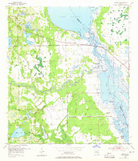
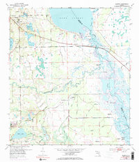
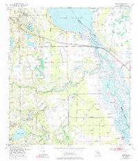
Other maps of this area

1949 · Osceola
USGS Topo · 1:24,000

1950 · Maytown
USGS Topo · 1:24,000

1950 · Aurantia
USGS Topo · 1:24,000

1953 · Geneva
USGS Topo · 1:24,000

1953 · Titusville SW
USGS Topo · 1:24,000

1953 · Oviedo SW
USGS Topo · 1:24,000

1953 · Bithlo
USGS Topo · 1:24,000

1955 · Orlando
USGS Topo · 1:250,000

1956 · Oviedo
USGS Topo · 1:24,000

1957 · Orlando
USGS Topo · 1:250,000