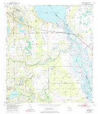
1953 Map of Geneva
USGS Topo · Published 1985About this map
The St Johns River and Econlockhatchee River converge in this mid-century portrait of the Florida interior, where the landscape is defined by vast marshes and numerous lakes. The settlements of Geneva and Chuluota are the primary hubs of activity, linked by early road networks that cut through the low-lying terrain. To the south, Chuluota Cem sits near the shores of Mills Lake, providing a specific point of interest for genealogists.
Find a feature on this map
37 named features on this map. Tap any name to fly to it.
Don’t see what you’re looking for? This feature index may not catch every label — zoom into the map to look around manually.
Map Details
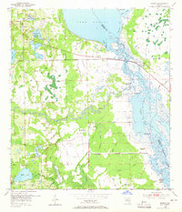
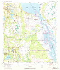
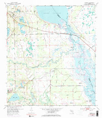
Editions of this 1953 Geneva Map
5 editions found
Other maps of this area

1949 · Osceola
USGS Topo · 1:24,000

1950 · Maytown
USGS Topo · 1:24,000

1950 · Aurantia
USGS Topo · 1:24,000

1953 · Geneva
USGS Topo · 1:24,000

1953 · Titusville SW
USGS Topo · 1:24,000

1953 · Oviedo SW
USGS Topo · 1:24,000

1953 · Bithlo
USGS Topo · 1:24,000

1955 · Orlando
USGS Topo · 1:250,000

1956 · Oviedo
USGS Topo · 1:24,000

1957 · Orlando
USGS Topo · 1:250,000