
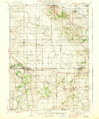
1938 Map of Genoa
USGS Topo · Published 1938About this map
Genoa stands at the heart of this 1930s landscape, where the Chicago Milwaukee St Paul and Pacific and Chicago and Northwestern railroads intersect. This rail junction defines the local economy, connecting agricultural hubs like Hampshire, Marengo, and Burlington. The map reveals a dense network of one-room schoolhouses such as Anthony Sch, Java Sch, and Bean Sch, reflecting the rural township structure before mid-century school consolidations.
Find a feature on this map
76 named features on this map. Tap any name to fly to it.
Don’t see what you’re looking for? This feature index may not catch every label — zoom into the map to look around manually.
Map Details
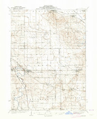
Editions of this 1938 Genoa Map
3 editions found
Other maps of this area

1918 · Belvidere
USGS Topo · 1:62,500

1918 · Kirkland
USGS Topo · 1:62,500

1925 · Elgin
USGS Topo · 1:62,500

1926 · Mc Henry
USGS Topo · 1:62,500

1932 · Harvard
USGS Topo · 1:48,000

1932 · Geneva
USGS Topo · 1:62,500

1934 · De Kalb
USGS Topo · 1:62,500

1937 · De Kalb
USGS Topo · 1:62,500

1937 · Sycamore
USGS Topo · 1:62,500

1937 · Harvard
USGS Topo · 1:62,500