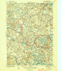
1944 Map of Georgetown
USGS Topo · Published 1944About this map
Dummer Academy anchors the northern landscape near South Byfield in this mid-century look at Essex County. The map captures a transition from traditional village centers like Georgetown and Topsfield to the conserved woodlands of the Georgetown Rowley State Forest. Evidence of long-established agricultural and social structures is found in family-named locations such as Kinsman Corner, Dole Corner, and Leightons Corner, alongside several burial grounds including Harmony Cem and Nursery Cem. The Boston and Maine RR cuts through the terrain, illustrating the rail connections that linked these North Shore communities. Waterways like the Ipswich River and Parker River define the local drainage patterns, while specialized settlements like the Asbury Grove camp meeting ground reflect the unique cultural history of the region.
Find a feature on this map
114 named features on this map. Tap any name to fly to it.
Don’t see what you’re looking for? This feature index may not catch every label — zoom into the map to look around manually.
Map Details
Editions of this 1944 Georgetown Map
2 editions found
Other maps of this area

1886 · Lawrence
USGS Topo · 1:62,500

1888 · Newburyport
USGS Topo · 1:62,500

1888 · Haverhill
USGS Topo · 1:62,500

1888 · Lawrence
USGS Topo · 1:62,500

1888 · Salem
USGS Topo · 1:62,500

1890 · Haverhill
USGS Topo · 1:62,500

1890 · Newburyport
USGS Topo · 1:62,500

1893 · Salem
USGS Topo · 1:62,500

1893 · Lawrence
USGS Topo · 1:62,500

1893 · Haverhill
USGS Topo · 1:62,500