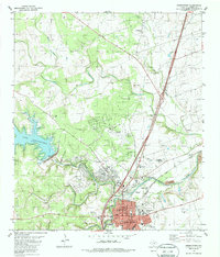
1982 Map of Georgetown
USGS Topo · Published 1986About this map
The San Gabriel River serves as the focal point for this Central Texas landscape, where the confluence of the North Fork and South Fork meets the developing urban footprint of Georgetown. The map illustrates a transitional period for the area, featuring the newly established Lake Georgetown and the North San Gabriel Dam, which altered the hydrology of the western hills. To the east, the historic core of the city is anchored by the Southwestern University campus and the landmark Courthouse.
Find a feature on this map
44 named features on this map. Tap any name to fly to it.
Don’t see what you’re looking for? This feature index may not catch every label — zoom into the map to look around manually.
Map Details
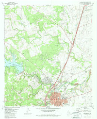
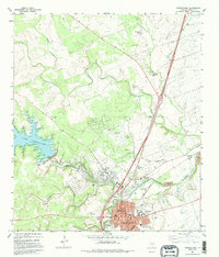
Editions of this 1982 Georgetown Map
3 editions found
Other maps of this area

1893 · Georgetown
USGS Topo · 1:125,000

1925 · Georgetown 4-b
USGS Topo · 1:48,000

1925 · Georgetown 4-d
USGS Topo · 1:48,000

1928 · Round Rock
USGS Topo · 1:62,500

1949 · Round Rock
USGS Topo · 1:62,500

1951 · Round Rock
USGS Topo · 1:62,500

1954 · Austin
USGS Topo · 1:250,000
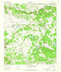
1962 · Leander
USGS Topo · 1:24,000
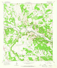
1962 · Leander NE
USGS Topo · 1:24,000
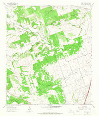
1964 · Cobbs Cavern
USGS Topo · 1:24,000