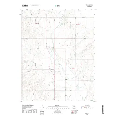
2018 Map of Gerlane
USGS Topo · Published 2018About this map
Gerlane sits at the heart of this Barber County landscape, where the meandering Medicine Lodge River and its associated wetlands define the local geography. The river valley is joined by several tributaries, including Antelope Cr from the north and Brush Cr from the west, creating a complex drainage system characterized by Wilson Slough. The rural character of the area is reinforced by a grid of section-line roads with descriptive names like College Hill Rd and Pleasant Hill Rd, which connect the scattered agricultural holdings. In the southern portion of the quadrangle, the Liberty Cem provides a specific point of interest for genealogists tracing local families. The presence of the Hardtner Shortcut suggests established transit patterns through this prairie environment, where the landscape remains largely dedicated to large-scale ranching or farming operations.
Find a feature on this map
29 named features on this map. Tap any name to fly to it.
Don’t see what you’re looking for? This feature index may not catch every label — zoom into the map to look around manually.
Map Details
Editions of this 2018 Gerlane Map
This is the sole edition of this map. No revisions or reprints were ever made.
Other maps of this area
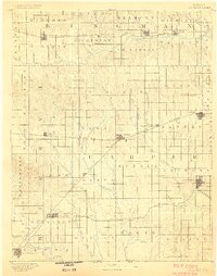
1889 · Anthony
USGS Topo · 1:125,000
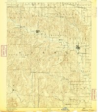
1891 · Medicine Lodge
USGS Topo · 1:125,000
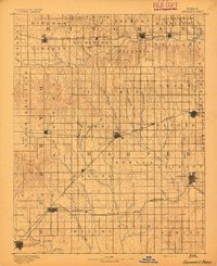
1891 · Anthony
USGS Topo · 1:125,000
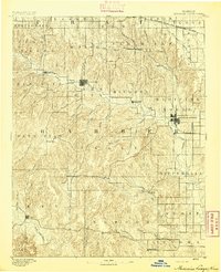
1893 · Medicine Lodge
USGS Topo · 1:125,000
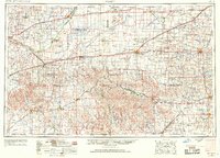
1955 · Pratt
USGS Topo · 1:250,000
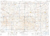
1959 · Pratt
USGS Topo · 1:250,000
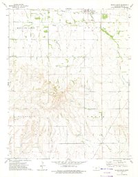
1972 · Sharon South
USGS Topo · 1:24,000
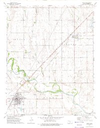
1972 · Kiowa
USGS Topo · 1:24,000
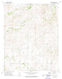
1973 · Hardtner NW
USGS Topo · 1:24,000
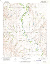
1973 · Gerlane
USGS Topo · 1:24,000