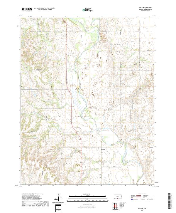
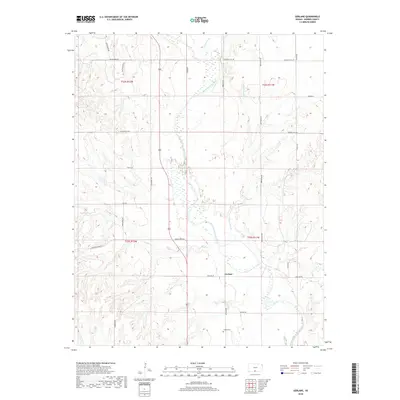
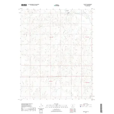
2022 Map of Gerlane
USGS Topo · Published 2022About this map
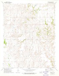
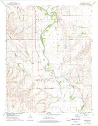
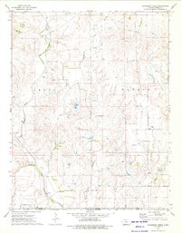
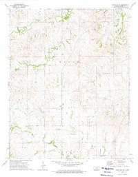
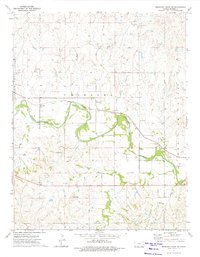
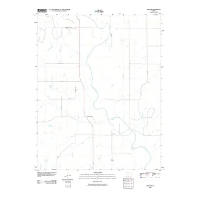
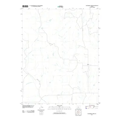
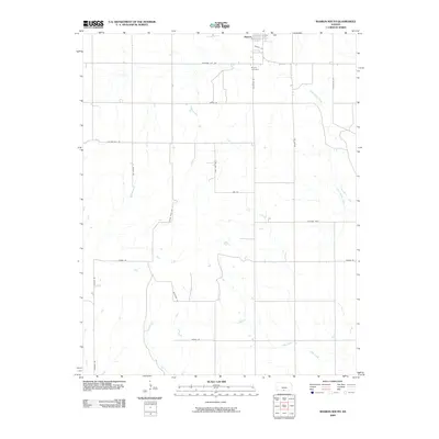
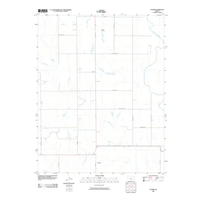
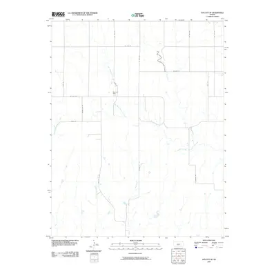
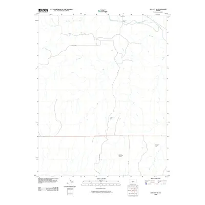
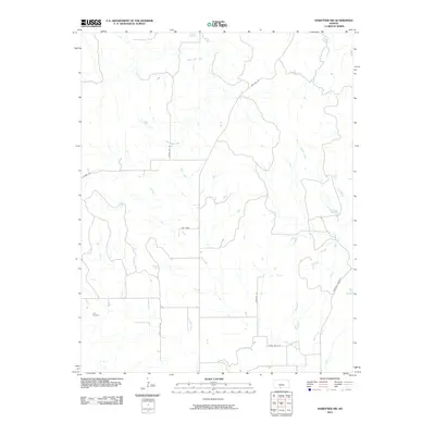
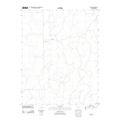
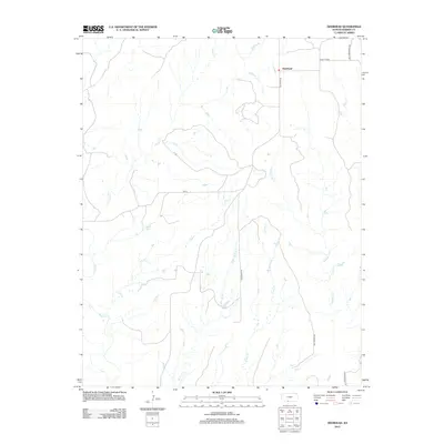
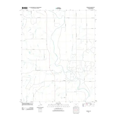
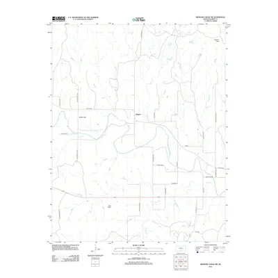
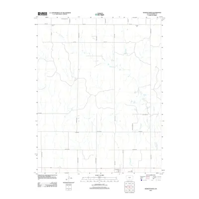
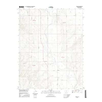
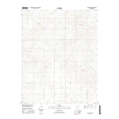
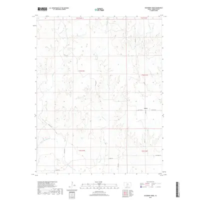
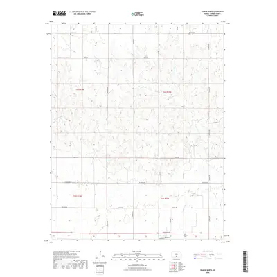
Medicine Lodge River winds through the central corridor of this Barber County landscape, flanked by a network of wetlands and seasonal drainages. The small community of Gerlane serves as a focal point along Gerlane Rd, situated near the confluence of the river and Wilson Slough. The terrain is characterized by the winding paths of Antelope Cr and Brush Cr, which carve through the sectional divisions of the Public Land Survey System. To the south, the New Liberty Cem stands as a primary genealogical landmark for the area. A grid of local routes, including the descriptively named Hardtner Shortcut and Roundup Rd, provides access to the agricultural holdings and rural properties that define this part of southern Kansas.
Find a feature on this map
29 named features on this map. Tap any name to fly to it.
Don’t see what you’re looking for? This feature index may not catch every label — zoom into the map to look around manually.
Map Details
Editions of this 2022 Gerlane Map
This is the sole edition of this map. No revisions or reprints were ever made.
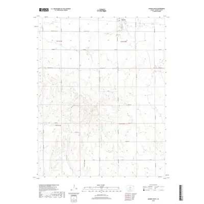
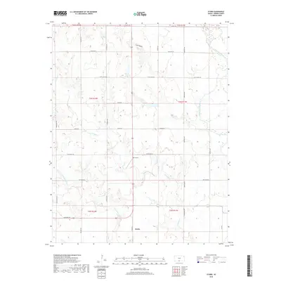
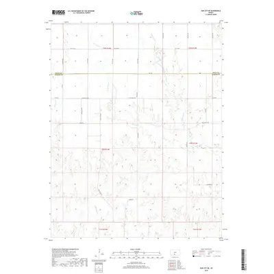
Historical Maps of Gerlane Through Time
72 maps found
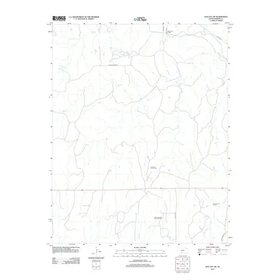
1968 Sun City SW
Barber County, KS
1972 Sharon South
Barber County, KS
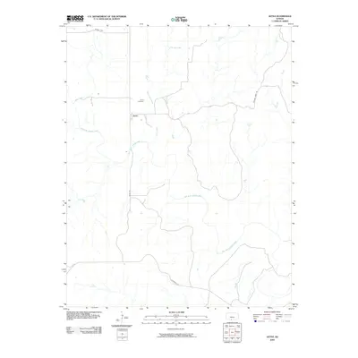
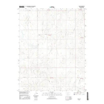
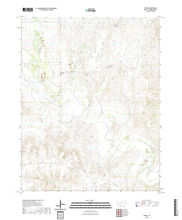
1973 Aetna
Barber County, KS
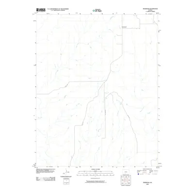
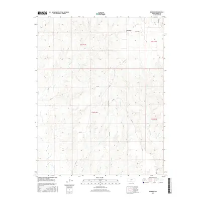
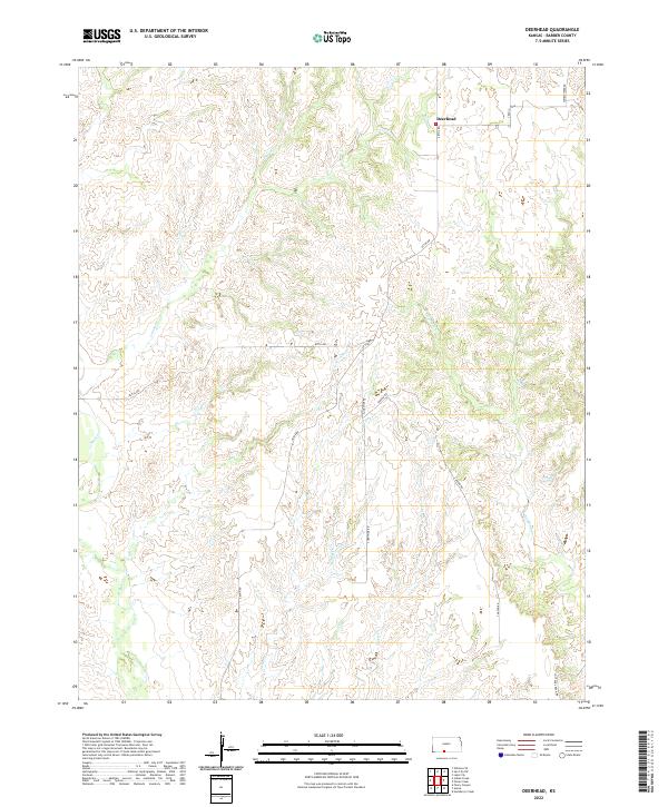
1973 Deerhead
Barber County, KS
1973 Gerlane
Barber County, KS
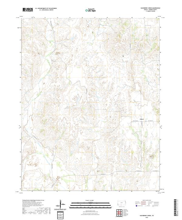
1973 Hackberry Creek
Barber County, KS
1973 Hardtner NW
Barber County, KS
1973 Medicine Lodge SW
Barber County, KS
1973 Pump Creek
Barber County, KS
1973 Sharon North
Barber County, KS
1973 Stubbs
Barber County, KS
1973 Sun City NE
Barber County, KS
2009 Aetna
Barber County, KS
2009 Deerhead
Barber County, KS
2009 Gerlane
Barber County, KS
2009 Hackberry Creek
Barber County, KS
2009 Medicine Lodge SW
Barber County, KS
2009 Pump Creek
Barber County, KS
2009 Sharon North
Barber County, KS
2009 Sharon South
Barber County, KS
2009 Stubbs
Barber County, KS
2009 Sun City NE
Barber County, KS
2009 Sun City SW
Barber County, KS
2010 Hardtner NW
Barber County, KS
2012 Aetna
Barber County, KS
2012 Deerhead
Barber County, KS
2012 Gerlane
Barber County, KS
2012 Hackberry Creek
Barber County, KS
2012 Hardtner NW
Barber County, KS
2012 Medicine Lodge SW
Barber County, KS
2012 Pump Creek
Barber County, KS
2012 Sharon North
Barber County, KS
2012 Sharon South
Barber County, KS
2012 Stubbs
Barber County, KS
2012 Sun City NE
Barber County, KS
2012 Sun City SW
Barber County, KS
2015 Aetna
Barber County, KS
2015 Deerhead
Barber County, KS
2015 Gerlane
Barber County, KS
2015 Hardtner NW
Barber County, KS
2015 Medicine Lodge SW
Barber County, KS
2015 Sharon North
Barber County, KS
2015 Sharon South
Barber County, KS
2015 Sun City SW
Barber County, KS
2016 Hackberry Creek
Barber County, KS
2016 Pump Creek
Barber County, KS
2016 Stubbs
Barber County, KS
2016 Sun City NE
Barber County, KS
2018 Aetna
Barber County, KS
2018 Deerhead
Barber County, KS
2018 Gerlane
Barber County, KS
2018 Hackberry Creek
Barber County, KS
2018 Hardtner NW
Barber County, KS
2018 Medicine Lodge SW
Barber County, KS
2018 Pump Creek
Barber County, KS
2018 Sharon North
Barber County, KS
2018 Sharon South
Barber County, KS
2018 Stubbs
Barber County, KS
2018 Sun City NE
Barber County, KS
2018 Sun City SW
Barber County, KS
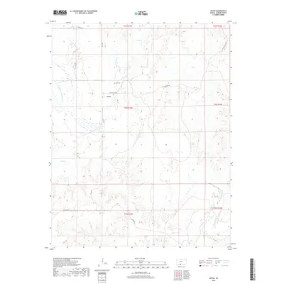
2022 Aetna
Barber County, KS
2022 Deerhead
Barber County, KS
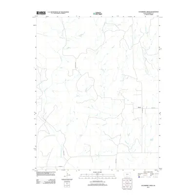
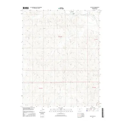
2022 Gerlane
Barber County, KS
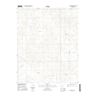
2022 Hackberry Creek
Barber County, KS
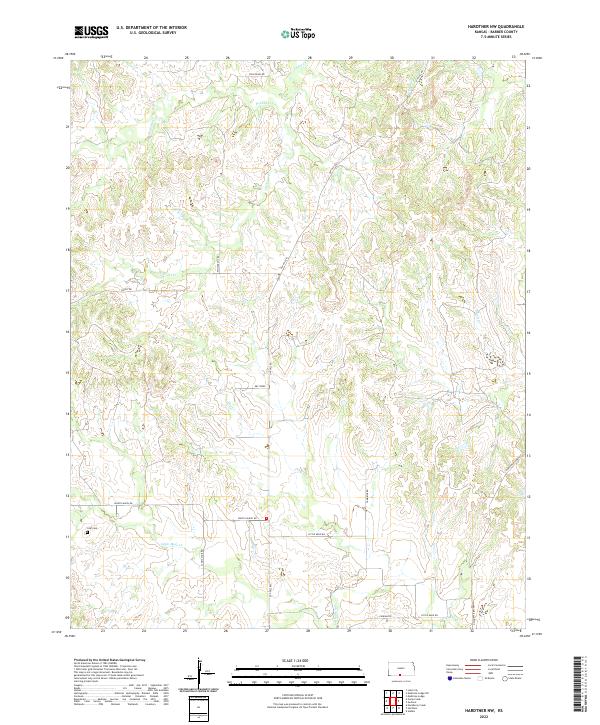
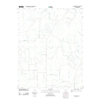
2022 Hardtner NW
Barber County, KS
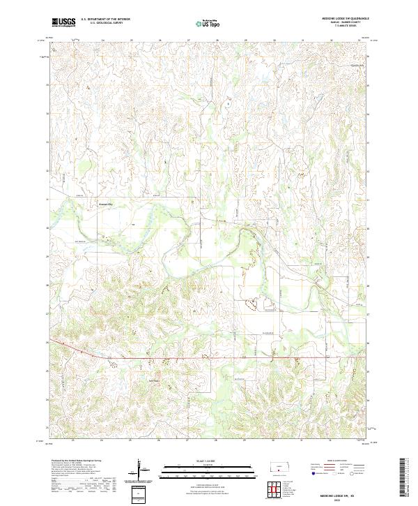
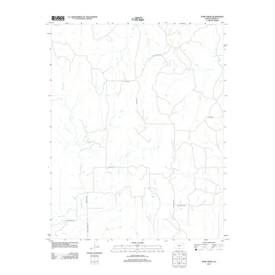
2022 Medicine Lodge SW
Barber County, KS

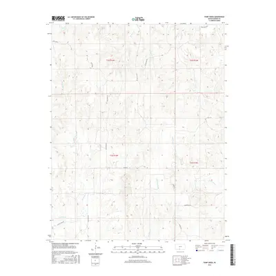
2022 Pump Creek
Barber County, KS
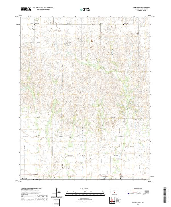
2022 Sharon North
Barber County, KS
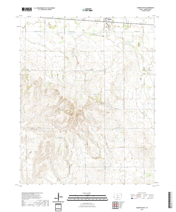
2022 Sharon South
Barber County, KS
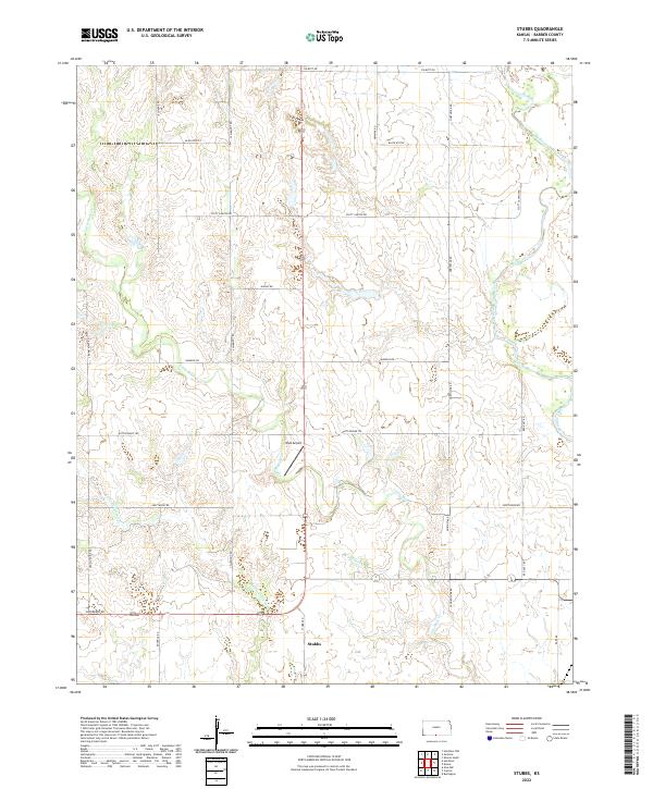
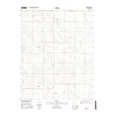
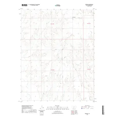
2022 Stubbs
Barber County, KS
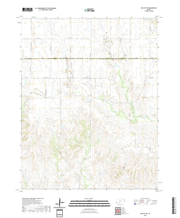
2022 Sun City NE
Barber County, KS
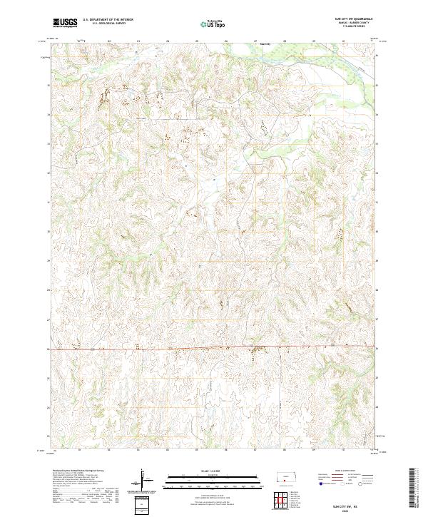
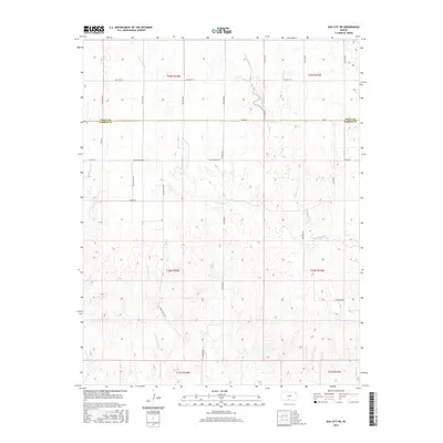
2022 Sun City SW
Barber County, KS