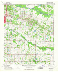
1965 Map of Germantown
USGS Topo · Published 1967About this map
The Southern Railway corridor serves as the central axis for Shelby County development in this mid-1960s study, documenting the eastward expansion of the Memphis metropolitan area into Germantown. The landscape transition is evident as established residential hubs like White Station give way to the more sparsely settled outskirts near Forest Hill. Institutional growth is prominent, with multiple private schools including Memphis University Sch, Hutchison Sch, and Lausanne Sch clustered on the western edge.
Find a feature on this map
48 named features on this map. Tap any name to fly to it.
Don’t see what you’re looking for? This feature index may not catch every label — zoom into the map to look around manually.
Map Details
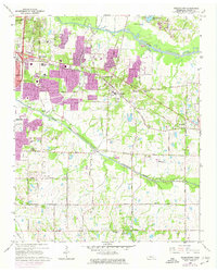
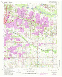
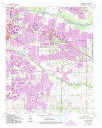
Editions of this 1965 Germantown Map
4 editions found
Other maps of this area

1943 · Collierville
USGS Topo · 1:62,500

1944 · Hernando
USGS Topo · 1:62,500

1948 · Byhalia
USGS Topo · 1:62,500

1953 · Collierville
USGS Topo · 1:50,000

1956 · Blytheville
USGS Topo · 1:250,000

1956 · Tupelo
USGS Topo · 1:250,000

1958 · Tupelo
USGS Topo · 1:250,000

1959 · Blytheville
USGS Topo · 1:250,000

1960 · Bartlett
USGS Topo · 1:62,500

1961 · Bartlett
USGS Topo · 1:62,500