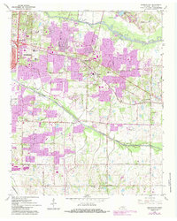
1965 Map of Germantown
USGS Topo · Published 1984About this map
Germantown serves as the focal point of this mid-1960s survey, showing a landscape in transition as Memphis residential development pushes eastward. The map captures the established rural-suburban character of eastern Shelby County, where large institutional land uses like the County Penal Farm and the Windyke Country Club occupy significant acreage alongside the Wolf River corridor. Educational growth is evident in the cluster of private institutions near White Station, including Memphis University Sch and Hutchison Sch, reflecting the mid-century expansion of the city's academic infrastructure.
Find a feature on this map
59 named features on this map. Tap any name to fly to it.
Don’t see what you’re looking for? This feature index may not catch every label — zoom into the map to look around manually.
Map Details
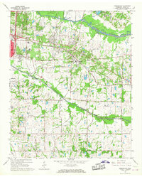
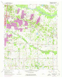
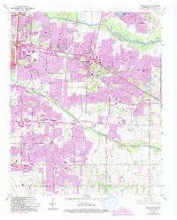
Editions of this 1965 Germantown Map
4 editions found
Other maps of this area

1943 · Collierville
USGS Topo · 1:62,500

1944 · Hernando
USGS Topo · 1:62,500

1948 · Byhalia
USGS Topo · 1:62,500

1953 · Collierville
USGS Topo · 1:50,000

1956 · Blytheville
USGS Topo · 1:250,000

1956 · Tupelo
USGS Topo · 1:250,000

1958 · Tupelo
USGS Topo · 1:250,000

1959 · Blytheville
USGS Topo · 1:250,000

1960 · Bartlett
USGS Topo · 1:62,500

1961 · Bartlett
USGS Topo · 1:62,500