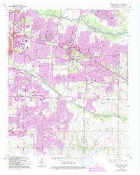
1965 Map of Germantown
USGS Topo · Published 1994About this map
Germantown and the eastern edge of Memphis are depicted here during a period of significant suburban expansion, where traditional Tennessee farmland was rapidly transitioning into residential neighborhoods. The Southern railroad corridor and the historic Poplar Pike serve as the primary east-west axes, anchoring established communities like White Station and Forest Hill. While large-scale developments and golf courses like the Windyke Country Club began to dominate the landscape, older rural identifiers remain. Local history is preserved in the placement of several country churches and burial grounds, including Hickory Hill Ch, Mount Moriah Ch, and the Bethlehem Cem. The area between the Wolf River to the north and Nonconnah Creek to the south reveals a network of emerging schools such as the Memphis University Sch and Hutchison Sch, reflecting the mid-century growth of Shelby County's educational infrastructure.
Find a feature on this map
40 named features on this map. Tap any name to fly to it.
Don’t see what you’re looking for? This feature index may not catch every label — zoom into the map to look around manually.
Map Details
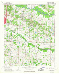
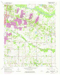
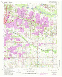
Editions of this 1965 Germantown Map
4 editions found
Other maps of this area

1943 · Collierville
USGS Topo · 1:62,500

1944 · Hernando
USGS Topo · 1:62,500

1948 · Byhalia
USGS Topo · 1:62,500

1953 · Collierville
USGS Topo · 1:50,000

1956 · Blytheville
USGS Topo · 1:250,000

1956 · Tupelo
USGS Topo · 1:250,000

1958 · Tupelo
USGS Topo · 1:250,000

1959 · Blytheville
USGS Topo · 1:250,000

1960 · Bartlett
USGS Topo · 1:62,500

1961 · Bartlett
USGS Topo · 1:62,500