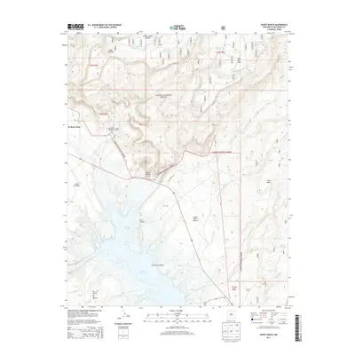
2013 Map of Ghost Ranch
USGS Topo · Published 2013About this map
Ghost Ranch and the Christ-in-the-Desert Monastery anchor this high-desert landscape in the early 21st century. The map reveals a complex system of water management and natural drainage, from the expansive Abiquiu Reservoir in the south to a network of upland tanks like Trick Tank Number One and Wild Horse Tank. The geography is defined by prominent mesas and canyons, including Mesa Montosa and the deep Comanche Canyon, showing the varied elevations of the Carson National Forest. Scattered settlements and landmarks, such as El Monte Rojo, Llano Del Vado, and the CCC Camp, provide historical and cultural context for the area. This survey captures the region's character through its named arroyos, including the Arroyo del Yeso and Arroyo del Chamiso, which carve through the plains of Llano Piedra Lumbre.
Find a feature on this map
31 named features on this map. Tap any name to fly to it.
Don’t see what you’re looking for? This feature index may not catch every label — zoom into the map to look around manually.
Map Details
Editions of this 2013 Ghost Ranch Map
This is the sole edition of this map. No revisions or reprints were ever made.
Other maps of this area
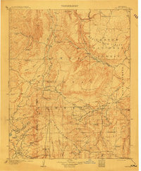
1909 · Gallina
USGS Topo · 1:125,000
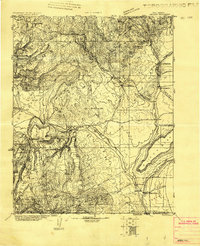
1918 · Abiquiu
USGS Topo · 1:125,000
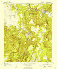
1953 · Canones
USGS Topo · 1:24,000
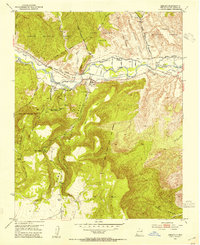
1953 · Abiquiu
USGS Topo · 1:24,000
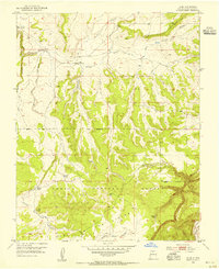
1953 · Alire
USGS Topo · 1:24,000
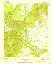
1953 · Echo Ampitheater
USGS Topo · 1:24,000
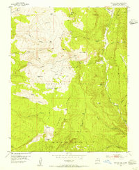
1953 · Magote Peak
USGS Topo · 1:24,000
1953 · Canjilon
USGS Topo · 1:24,000
1953 · Canjilon SE
USGS Topo · 1:24,000
1953 · Youngsville
USGS Topo · 1:24,000