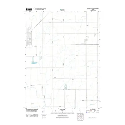
2012 Map of Gibson City East
USGS Topo · Published 2012About this map
The Sangamon River and Hillsbury Slough define the southern landscape of this Ford County quadrangle, where the agricultural grid meets the drainage systems of central Illinois. The small settlement of Elliott serves as a primary focal point, organized around its own local street plan including S St and Midway St. Aviation history is subtly represented by two distinct facilities: Schertz Field Airport in the northeast and the Barnes Landing Strip further south, illustrating the importance of private and local air travel in this rural corridor.
Find a feature on this map
53 named features on this map. Tap any name to fly to it.
Don’t see what you’re looking for? This feature index may not catch every label — zoom into the map to look around manually.
Map Details
Editions of this 2012 Gibson City East Map
This is the sole edition of this map. No revisions or reprints were ever made.
Other maps of this area

1924 · Paxton
USGS Topo · 1:62,500

1927 · Paxton
USGS Topo · 1:62,500

1928 · Gibson City
USGS Topo · 1:62,500

1947 · Sibley
USGS Topo · 1:62,500

1948 · Buckley
USGS Topo · 1:62,500

1949 · Buckley
USGS Topo · 1:62,500

1949 · Paxton
USGS Topo · 1:62,500

1949 · Sibley
USGS Topo · 1:62,500

1957 · Paxton
USGS Topo · 1:62,500

1957 · Gibson City
USGS Topo · 1:62,500