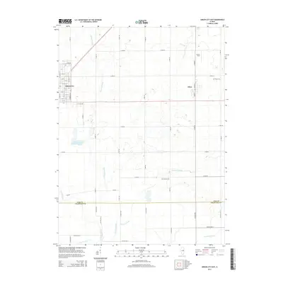
2015 Map of Gibson City East
USGS Topo · Published 2015About this map
Gibson City and the neighboring village of Elliott anchor this central Illinois landscape, where the agricultural grid is intersected by a complex drainage network. The map reveals the hydrology that defines the eastern edge of Ford County, including Dickerson Slough, Blackford Slough, and the headwaters of Drummer Creek which flow toward the Sangamon River near the southern border. This 2015 survey provides a modern layout of local infrastructure, from the residential streets of Gibson City like E Le Fevre Ave to the rural roads that link scattered landmarks. Genealogists will find the locations of Oregon Cem and Blackford Cem useful for local research. The presence of Schertz Field north of Elliott further marks the transition between the small-town centers and the surrounding prairie-turned-farmland that stretches toward the Champaign Co line.
Find a feature on this map
59 named features on this map. Tap any name to fly to it.
Don’t see what you’re looking for? This feature index may not catch every label — zoom into the map to look around manually.
Map Details
Editions of this 2015 Gibson City East Map
This is the sole edition of this map. No revisions or reprints were ever made.
Other maps of this area

1924 · Paxton
USGS Topo · 1:62,500

1927 · Paxton
USGS Topo · 1:62,500

1928 · Gibson City
USGS Topo · 1:62,500

1947 · Sibley
USGS Topo · 1:62,500

1948 · Buckley
USGS Topo · 1:62,500

1949 · Buckley
USGS Topo · 1:62,500

1949 · Paxton
USGS Topo · 1:62,500

1949 · Sibley
USGS Topo · 1:62,500

1957 · Paxton
USGS Topo · 1:62,500

1957 · Gibson City
USGS Topo · 1:62,500