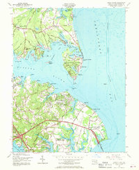
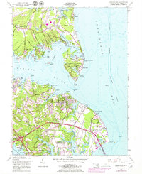
1954 Map of Gibson Island
USGS Topo · Published 1969About this map
Gibson Island and the surrounding Chesapeake shoreline are mapped in detail during the mid-1950s, a period before the rapid suburban expansion of the western shore. The landscape is defined by the Magothy River and its intricate estuaries, including Sillery Bay and Cornfield Creek. Inland, the map reveals a rural and institutional character, showing the Chesapeake Bay Institute Field Laboratory and a State Prison Camp near Skidmore. Settlement patterns are concentrated at waterfront points like Pinehurst and Shore Acres, while established local landmarks like Broad Neck Ch and St Margarets anchor the inland roads. Navigational features are prominent for the mariner, from the Baltimore Lighthouse in the bay to the Magothy River Light. The mapping also highlights early recreation and conservation with the Golf Course on the island and the boundaries of Sandy Point State Park.
Find a feature on this map
99 named features on this map. Tap any name to fly to it.
Don’t see what you’re looking for? This feature index may not catch every label — zoom into the map to look around manually.
Map Details
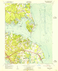
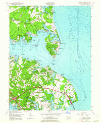
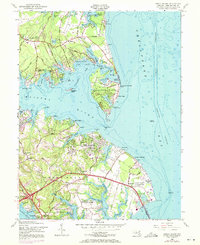
Editions of this 1954 Gibson Island Map
5 editions found
Other maps of this area

1892 · Owensville
USGS Topo · 1:62,500

1892 · Annapolis
USGS Topo · 1:62,500

1893 · North Point
USGS Topo · 1:62,500

1894 · Relay
USGS Topo · 1:62,500

1895 · Owensville
USGS Topo · 1:62,500

1898 · Choptank
USGS Topo · 1:125,000

1898 · Tolchester
USGS Topo · 1:125,000

1899 · Patuxent
USGS Topo · 1:125,000

1903 · Tolchester
USGS Topo · 1:125,000

1904 · North Point
USGS Topo · 1:62,500