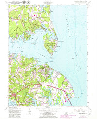
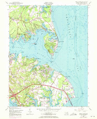
1954 Map of Gibson Island
USGS Topo · Published 1979About this map
Gibson Island stands as a prominent residential enclave at the mouth of the Magothy River, its private roads and golf course separated from the mainland by the Magothy Narrows. This mid-century survey captures a rapidly developing Anne Arundel County shoreline, where residential communities like Cape St Claire and Pinehurst are expanding alongside established maritime landmarks. To the southeast, the expansive Sandy Point State Park borders the Chesapeake Bay, featuring a Tollhouse and the State Prison Camp near the approach to the Chesapeake Bay Bridge. The map records significant institutional presence, including the Chesapeake Bay Institute Field Laboratory Johns Hopkins University and the religious center at Manresa. For maritime history, the sheet preserves the locations of vital navigational aids such as the Baltimore Lighthouse and Sandy Point Lighthouse, while marking the intricate network of coves including Cornfield Creek and Sillery Bay that define this water-centric landscape.
Find a feature on this map
97 named features on this map. Tap any name to fly to it.
Don’t see what you’re looking for? This feature index may not catch every label — zoom into the map to look around manually.
Map Details
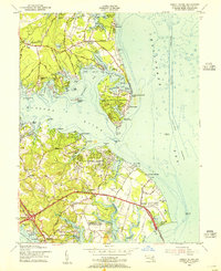
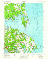
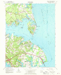
Editions of this 1954 Gibson Island Map
5 editions found
Other maps of this area

1892 · Owensville
USGS Topo · 1:62,500

1892 · Annapolis
USGS Topo · 1:62,500

1893 · North Point
USGS Topo · 1:62,500

1894 · Relay
USGS Topo · 1:62,500

1895 · Owensville
USGS Topo · 1:62,500

1898 · Choptank
USGS Topo · 1:125,000

1898 · Tolchester
USGS Topo · 1:125,000

1899 · Patuxent
USGS Topo · 1:125,000

1903 · Tolchester
USGS Topo · 1:125,000

1904 · North Point
USGS Topo · 1:62,500