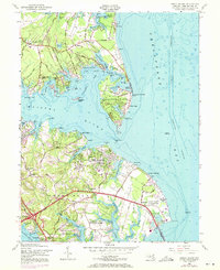
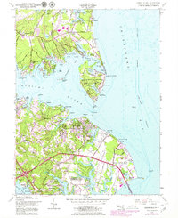
1954 Map of Gibson Island
USGS Topo · Published 1971About this map
The Gibson Island community and the surrounding shores of the Magothy River are meticulously detailed in this mid-century survey, which reveals a landscape defined by private estates, maritime infrastructure, and institutional land use. On the island itself, the Golf Course and St Christopher by the Sea Church sit alongside quiet inlets like Otter Pond, while the mainland features growing residential developments such as Cape St Claire and Lake Shore.
Find a feature on this map
115 named features on this map. Tap any name to fly to it.
Don’t see what you’re looking for? This feature index may not catch every label — zoom into the map to look around manually.
Map Details
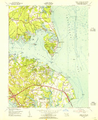
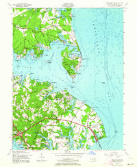
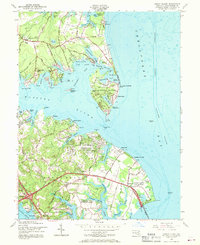
Editions of this 1954 Gibson Island Map
5 editions found
Other maps of this area

1892 · Owensville
USGS Topo · 1:62,500

1892 · Annapolis
USGS Topo · 1:62,500

1893 · North Point
USGS Topo · 1:62,500

1894 · Relay
USGS Topo · 1:62,500

1895 · Owensville
USGS Topo · 1:62,500

1898 · Choptank
USGS Topo · 1:125,000

1898 · Tolchester
USGS Topo · 1:125,000

1899 · Patuxent
USGS Topo · 1:125,000

1903 · Tolchester
USGS Topo · 1:125,000

1904 · North Point
USGS Topo · 1:62,500