
1892 Map of Gilead
USGS Topo · Published 1892About this map
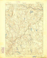
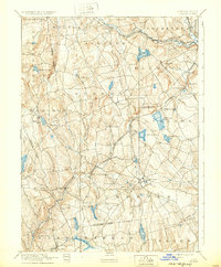
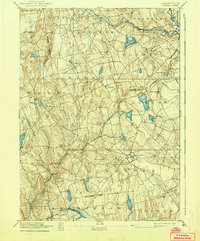
Colchester serves as a primary hub in this late nineteenth-century portrait of central Connecticut, where the intersection of agrarian life and industrial ambition is clearly visible. The landscape is defined by its complex hydrology and the engineering required to traverse it, most notably the Lyman Viaduct and the Air Line Division of the New York, New Haven and Hartford Railroad. This rail line cuts a path through the rolling terrain, passing through Turnerville and Westchester Station.
Find a feature on this map
61 named features on this map. Tap any name to fly to it.
Don’t see what you’re looking for? This feature index may not catch every label — zoom into the map to look around manually.
Map Details
Editions of this 1892 Gilead Map
7 editions found
Other maps of this area

1892 · Hartford
USGS Topo · 1:62,500

1892 · Woodstock
USGS Topo · 1:62,500

1892 · Tolland
USGS Topo · 1:62,500

1892 · New London
USGS Topo · 1:62,500

1892 · Norwich
USGS Topo · 1:62,500

1893 · Guilford
USGS Topo · 1:62,500

1893 · Middletown
USGS Topo · 1:62,500

1893 · New London
USGS Topo · 1:62,500

1893 · Saybrook
USGS Topo · 1:62,500

1906 · Farmington
USGS Topo · 1:125,000