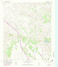
1963 Map of Giles
USGS Topo · Published 1982About this map
The Fort Worth and Denver railroad serves as the primary corridor through this portion of Donley County, running southeast past the community of Giles. This landscape is defined by the complex drainage systems of the Rolling Plains, where the North Fork and South Fork cut through the terrain alongside numerous seasonal streams like Dry Salt Creek and Jonah Creek. The settlement at Berkley and the recreational area at Club Lake provide distinct points of interest within an otherwise agricultural and industrial setting.
Find a feature on this map
21 named features on this map. Tap any name to fly to it.
Don’t see what you’re looking for? This feature index may not catch every label — zoom into the map to look around manually.
Map Details
Editions of this 1963 Giles Map
2 editions found
Other maps of this area

1954 · Plainview
USGS Topo · 1:250,000

1958 · Plainview
USGS Topo · 1:250,000

1959 · Lelia Lake Creek
USGS Topo · 1:24,000

1959 · McKnight
USGS Topo · 1:24,000

1961 · Memphis
USGS Topo · 1:62,500

1961 · Estelline
USGS Topo · 1:62,500

1963 · Hedley
USGS Topo · 1:24,000

1963 · Giles
USGS Topo · 1:24,000

1964 · Rolla SW
USGS Topo · 1:24,000

1964 · Quail
USGS Topo · 1:24,000