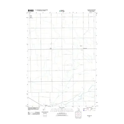
2011 Map of Gilford
USGS Topo · Published 2011About this map
Gilford and its surrounding agricultural townships appear here in a transition toward modernization while maintaining a grid-iron layout typical of rural Michigan. The landscape is defined by its water management, seen through the intricate system of artificial waterways like Moore Drain and H-M Drain that crisscross the farmland to support local production. To the south, the terrain shifts near Vassar, where the Cass River winds past the Odessa Lakes. Genealogists and local historians can pinpoint significant community landmarks such as the Gilford Post Office, the Gilford Township Cemetery, and the Watrousville Cemetery. The map also preserves the locations of smaller crossroads like Karrs Corner, illustrating the persistent settlement patterns of Tuscola County. Roads like Bradleyville Rd and Ringle Rd partition the landscape into precise agricultural blocks, reflecting the systematic land division of the region.
Find a feature on this map
46 named features on this map. Tap any name to fly to it.
Don’t see what you’re looking for? This feature index may not catch every label — zoom into the map to look around manually.
Map Details
Editions of this 2011 Gilford Map
This is the sole edition of this map. No revisions or reprints were ever made.
Other maps of this area

1954 · Flint
USGS Topo · 1:250,000

1958 · Flint
USGS Topo · 1:250,000

1963 · Quanicassee
USGS Topo · 1:24,000

1963 · Fairgrove
USGS Topo · 1:24,000

1963 · Reese
USGS Topo · 1:24,000

1963 · Gilford
USGS Topo · 1:24,000

1963 · Caro
USGS Topo · 1:24,000

1963 · Frankenmuth
USGS Topo · 1:24,000

1963 · Vassar
USGS Topo · 1:24,000

1963 · Juniata
USGS Topo · 1:24,000