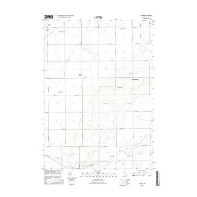
2014 Map of Gilford
USGS Topo · Published 2014About this map
The Cass River winds through the southern reaches of this landscape, anchoring the city of Vassar. This portion of Tuscola County is defined by a rigorous grid of section lines and rural routes, reflecting a deeply established agricultural framework. Small community centers such as Gilford and Watrousville serve as historic nodes within the township structure, each maintaining its own local burial grounds like the Watrousville Cem and Gilford Township Cem.
Find a feature on this map
54 named features on this map. Tap any name to fly to it.
Don’t see what you’re looking for? This feature index may not catch every label — zoom into the map to look around manually.
Map Details
Editions of this 2014 Gilford Map
This is the sole edition of this map. No revisions or reprints were ever made.
Other maps of this area

1954 · Flint
USGS Topo · 1:250,000

1958 · Flint
USGS Topo · 1:250,000

1963 · Quanicassee
USGS Topo · 1:24,000

1963 · Fairgrove
USGS Topo · 1:24,000

1963 · Reese
USGS Topo · 1:24,000

1963 · Gilford
USGS Topo · 1:24,000

1963 · Caro
USGS Topo · 1:24,000

1963 · Frankenmuth
USGS Topo · 1:24,000

1963 · Vassar
USGS Topo · 1:24,000

1963 · Juniata
USGS Topo · 1:24,000