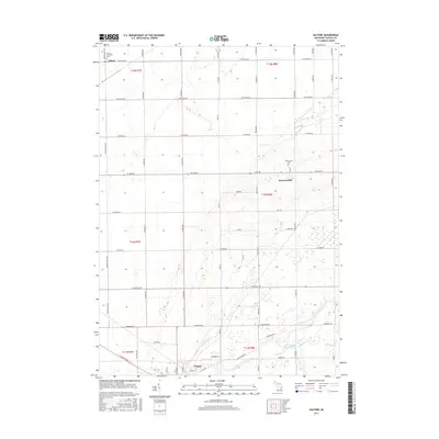
2017 Map of Gilford
USGS Topo · Published 2017About this map
Vassar anchors the southern edge of this Michigan landscape, where the Cass River cuts through the agricultural terrain of Tuscola County. The map details a strictly organized grid of rural roads and drainage networks, including the Moore Drain and H-M-Drain, which are vital to the local farming economy. Moving north, the small settlements of Watrousville and Gilford appear as quiet crossroads, each serving as a focal point for the surrounding township. Genealogists will find the locations of the Watrousville Cem and Gilford Township Cem particularly useful for tracing family roots in this part of the Thumb region. The presence of the Odessa Lakes provides a rare break in the geometric precision of the section lines and farmstead placements, illustrating the subtle variations in this otherwise level landscape.
Find a feature on this map
58 named features on this map. Tap any name to fly to it.
Don’t see what you’re looking for? This feature index may not catch every label — zoom into the map to look around manually.
Map Details
Editions of this 2017 Gilford Map
This is the sole edition of this map. No revisions or reprints were ever made.
Other maps of this area

1954 · Flint
USGS Topo · 1:250,000

1958 · Flint
USGS Topo · 1:250,000

1963 · Quanicassee
USGS Topo · 1:24,000

1963 · Fairgrove
USGS Topo · 1:24,000

1963 · Reese
USGS Topo · 1:24,000

1963 · Gilford
USGS Topo · 1:24,000

1963 · Caro
USGS Topo · 1:24,000

1963 · Frankenmuth
USGS Topo · 1:24,000

1963 · Vassar
USGS Topo · 1:24,000

1963 · Juniata
USGS Topo · 1:24,000