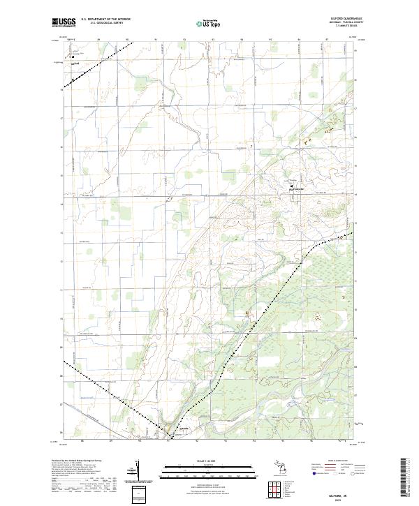
2023 Map of Gilford
USGS Topo · Published 2023About this map
Vassar anchor the southern reaches of this Tuscola County landscape, where the Cass River winds through the terrain. The area is defined by a sophisticated network of agricultural water management systems, including the Moore Drain, Brewer Drain, and Hecht Drain, which facilitate the productivity of the surrounding farmlands. Smaller settlements like Gilford and Watrousville serve as local hubs, connected by a rigid grid of country roads such as W Caro Rd and S Bradleyville Rd.
Find a feature on this map
64 named features on this map. Tap any name to fly to it.
Don’t see what you’re looking for? This feature index may not catch every label — zoom into the map to look around manually.
Map Details
Editions of this 2023 Gilford Map
This is the sole edition of this map. No revisions or reprints were ever made.
Other maps of this area

1954 · Flint
USGS Topo · 1:250,000

1958 · Flint
USGS Topo · 1:250,000

1963 · Quanicassee
USGS Topo · 1:24,000

1963 · Fairgrove
USGS Topo · 1:24,000

1963 · Reese
USGS Topo · 1:24,000

1963 · Gilford
USGS Topo · 1:24,000

1963 · Caro
USGS Topo · 1:24,000

1963 · Frankenmuth
USGS Topo · 1:24,000

1963 · Vassar
USGS Topo · 1:24,000

1963 · Juniata
USGS Topo · 1:24,000