
1961 Map of Gillett
USGS Topo · Published 1963About this map
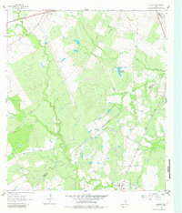
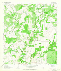
The confluence of agricultural and industrial life in south-central Texas defines this landscape, where the Wilson and Karnes County line meets Gonzales County. Centered on the community of Gillett, the terrain is dominated by the winding path of Ecleto Creek and its many tributaries, including Elm Creek and Shockley Creek. This early 1960s survey illustrates a region shaped by petroleum development, specifically the Manford Gas Field and various resources like the Weinert Reservoir and several Flowing Wells. Small settlements like Pandora and El Negro Ranch anchor the rural landscape, connected by a network of roads and a Southern Pacific railroad line cutting across the northwest corner. Traces of local heritage are visible in small details, such as a lone Cemetery and the intricate fence lines that denote property boundaries in this productive ranching and drilling country.
Find a feature on this map
20 named features on this map. Tap any name to fly to it.
Don’t see what you’re looking for? This feature index may not catch every label — zoom into the map to look around manually.
Map Details
Editions of this 1961 Gillett Map
Other maps of this area

1920 · Smiley
USGS Topo · 1:125,000

1942 · Dewville
USGS Topo · 1:62,500

1953 · Seguin
USGS Topo · 1:250,000

1956 · Dewville
USGS Topo · 1:62,500

1958 · Seguin
USGS Topo · 1:250,000

1960 · Kosciusko
USGS Topo · 1:24,000

1961 · Nixon
USGS Topo · 1:24,000
1961 · Stockdale
USGS Topo · 1:24,000
1961 · Alum
USGS Topo · 1:24,000
1961 · Ecleto
USGS Topo · 1:24,000