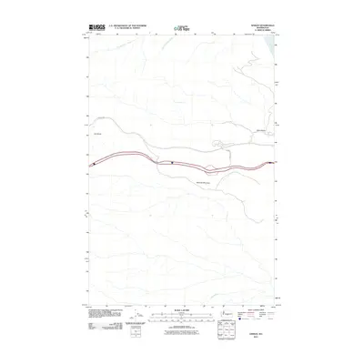
2011 Map of Ginkgo
USGS Topo · Published 2011About this map
Ginkgo State Park borders the eastern edge of this Central Washington landscape, where the land drops away toward the Columbia River. The terrain is defined by dramatic elevation shifts, anchored by Ryegrass Mountain and the prominent Hult Butte. This 2011 survey captures a network of drainages and springs that carve through the high desert, including Whiskey Dick Creek, Spring Cayuse Creek, and Johnson Creek.
Find a feature on this map
10 named features on this map. Tap any name to fly to it.
Don’t see what you’re looking for? This feature index may not catch every label — zoom into the map to look around manually.
Map Details
Editions of this 2011 Ginkgo Map
This is the sole edition of this map. No revisions or reprints were ever made.
Other maps of this area

1909 · Quincy
USGS Topo · 1:62,500

1910 · Quincy
USGS Topo · 1:62,500

1912 · Beverly
USGS Topo · 1:62,500

1920 · Colockum Pass
USGS Topo · 1:125,000

1922 · Colockum Pass
USGS Topo · 1:125,000

1939 · Boylston
USGS Topo · 1:48,000

1943 · Boylston
USGS Topo · 1:62,500

1950 · Yakima
USGS Topo · 1:250,000

1953 · McDonald Spring
USGS Topo · 1:24,000

1953 · Ginkgo
USGS Topo · 1:24,000