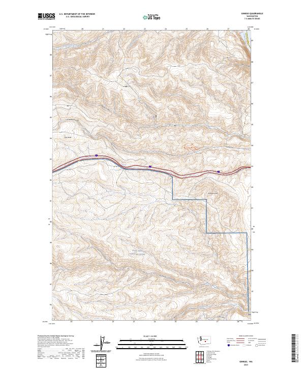
2023 Map of Ginkgo
USGS Topo · Published 2023About this map
Joint Base Lewis-Mcchord occupies the southern portion of this high-desert landscape in Kittitas County. The terrain is characterized by a series of dramatic geographic depressions and elevations, including Schnebly Coulee, Rocky Coulee, and Ryegrass Coulee, which all direct seasonal drainage toward the Columbia River to the east. These geological features reveal a complex network of canyons and ridges, such as Middle Canyon and Lone Star Ridge, that define the arid transition from the central Washington plains to the river's edge.
Find a feature on this map
21 named features on this map. Tap any name to fly to it.
Don’t see what you’re looking for? This feature index may not catch every label — zoom into the map to look around manually.
Map Details
Editions of this 2023 Ginkgo Map
This is the sole edition of this map. No revisions or reprints were ever made.
Other maps of this area

1909 · Quincy
USGS Topo · 1:62,500

1910 · Quincy
USGS Topo · 1:62,500

1912 · Beverly
USGS Topo · 1:62,500

1920 · Colockum Pass
USGS Topo · 1:125,000

1922 · Colockum Pass
USGS Topo · 1:125,000

1939 · Boylston
USGS Topo · 1:48,000

1943 · Boylston
USGS Topo · 1:62,500

1950 · Yakima
USGS Topo · 1:250,000

1953 · McDonald Spring
USGS Topo · 1:24,000

1953 · Ginkgo
USGS Topo · 1:24,000