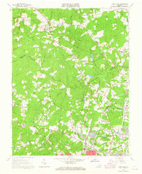
1963 Map of Glen Allen
USGS Topo · Published 1965About this map
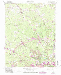
Glen Allen and the surrounding rural communities sit along the boundary between Hanover and Henrico Counties during a period of steady residential expansion in the early 1960s. The landscape is defined by the winding course of the Chickahominy River and its numerous tributaries, including Black Haw Branch and Grassy Swamp Creek. While modern developments are beginning to appear around Short Pump and Laurel, the area maintains a high concentration of community centers rooted in local history. Numerous country churches like Forest Grove Ch, Abner Ch, and Shady Grove Ch serve as navigational and social anchors. The infrastructure of the era is evident in the transition from woodlots and creeks like Stony Run to established corridors such as Shady Grove Road and the Old Richmond and Fredericksburg Road.
Find a feature on this map
43 named features on this map. Tap any name to fly to it.
Don’t see what you’re looking for? This feature index may not catch every label — zoom into the map to look around manually.
Map Details
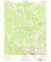
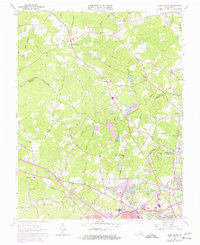
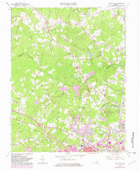
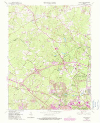
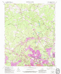
Editions of this 1963 Glen Allen Map
7 editions found
Other maps of this area

1890 · Goochland
USGS Topo · 1:125,000

1892 · Goochland
USGS Topo · 1:125,000

1894 · Richmond
USGS Topo · 1:62,500

1895 · Richmond
USGS Topo · 1:62,500

1918 · Doswell
USGS Topo · 1:62,500

1934 · Richmond
USGS Topo · 1:24,000

1936 · Richmond West
USGS Topo · 1:24,000

1936 · Glen Allen
USGS Topo · 1:24,000

1938 · Yellow Tavern
USGS Topo · 1:31,680

1939 · Richmond
USGS Topo · 1:31,680