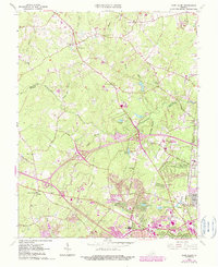
1963 Map of Glen Allen
USGS Topo · Published 1990About this map
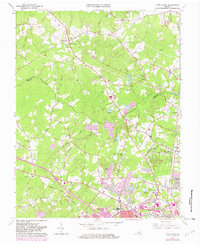
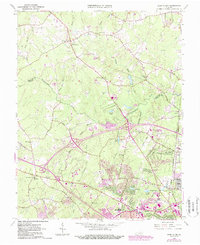
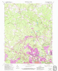
The Chickahominy River winds across this landscape where Henrico and Hanover counties meet, serving as a natural boundary between rural northern reaches and the expanding suburban areas to the south. In the early 1960s, before widespread development transformed the region, established communities like Glen Allen and Farrington were connected by a network of rural routes including Shady Grove Road and Nuckols Road. The map documents the early stages of major highway infrastructure with Interchange 34 and Interchange 35, marking the shift toward modern interstate travel. Cultural landmarks of the era are well-represented, from educational and recreational sites like Hunton Sch and Echo Lake Park to numerous local congregations such as Forest Grove Ch and Deep Run Ch. The presence of the Richmond Fredericksburg and Potomac rail line underscores the historical transportation corridor that shaped these settlements.
Find a feature on this map
73 named features on this map. Tap any name to fly to it.
Don’t see what you’re looking for? This feature index may not catch every label — zoom into the map to look around manually.
Map Details
Editions of this 1963 Glen Allen Map
7 editions found
Other maps of this area

1890 · Goochland
USGS Topo · 1:125,000

1892 · Goochland
USGS Topo · 1:125,000

1894 · Richmond
USGS Topo · 1:62,500

1895 · Richmond
USGS Topo · 1:62,500

1918 · Doswell
USGS Topo · 1:62,500

1934 · Richmond
USGS Topo · 1:24,000

1936 · Richmond West
USGS Topo · 1:24,000

1936 · Glen Allen
USGS Topo · 1:24,000

1938 · Yellow Tavern
USGS Topo · 1:31,680

1939 · Richmond
USGS Topo · 1:31,680