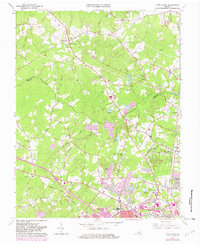
1963 Map of Glen Allen
USGS Topo · Published 1982About this map
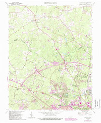
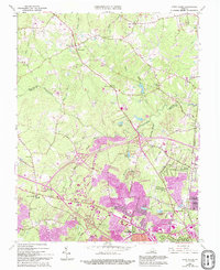
Henrico and Hanover counties meet along the winding course of the Chickahominy River, a landscape defined by its gradual transition from rural woodlots to burgeoning suburban neighborhoods. The Richmond Fredericksburg and Potomac rail line anchors the eastern corridor, passing through established communities like Glen Allen and Laurel. This 1963 survey, with purple revisions from 1979, captures the significant expansion of residential tracts and infrastructure, such as the Shopping Center near Hungary Road and several new educational facilities including Hermitage High School and Tucker High School.
Find a feature on this map
69 named features on this map. Tap any name to fly to it.
Don’t see what you’re looking for? This feature index may not catch every label — zoom into the map to look around manually.
Map Details
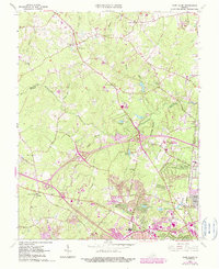
Editions of this 1963 Glen Allen Map
7 editions found
Other maps of this area

1890 · Goochland
USGS Topo · 1:125,000

1892 · Goochland
USGS Topo · 1:125,000

1894 · Richmond
USGS Topo · 1:62,500

1895 · Richmond
USGS Topo · 1:62,500

1918 · Doswell
USGS Topo · 1:62,500

1934 · Richmond
USGS Topo · 1:24,000

1936 · Richmond West
USGS Topo · 1:24,000

1936 · Glen Allen
USGS Topo · 1:24,000

1938 · Yellow Tavern
USGS Topo · 1:31,680

1939 · Richmond
USGS Topo · 1:31,680