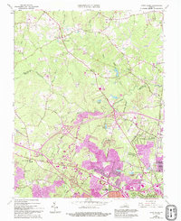
1963 Map of Glen Allen
USGS Topo · Published 1994About this map
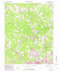
The Chickahominy River winds through the borderlands of Henrico and Hanover counties, providing a natural divide between the more developed southern suburbs and the rural landscape to the north. This map captures the region's mid-century expansion, with purple-shaded urban growth encroaching upon old crossroads and family-named landmarks. The historic Richmond Fredericksburg and Potomac RR corridor serves as an industrial and transport spine, supporting settlements like Glen Allen and Laurel. Institutional roots are visible in several country churches, including Forest Grove Ch and Shady Grove Ch, while newer educational facilities like Tucker High Sch signal the postwar population boom. This survey documents the era just as the interstate system began to reshape local transit, intersecting established thoroughfares like Three Chopt Road and Mountain Road.
Find a feature on this map
56 named features on this map. Tap any name to fly to it.
Don’t see what you’re looking for? This feature index may not catch every label — zoom into the map to look around manually.
Map Details
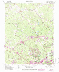
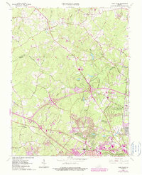
Editions of this 1963 Glen Allen Map
7 editions found
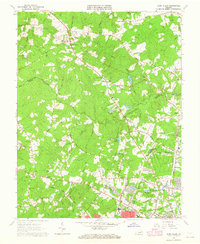
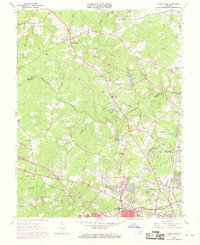
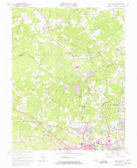
Other maps of this area

1890 · Goochland
USGS Topo · 1:125,000

1892 · Goochland
USGS Topo · 1:125,000

1894 · Richmond
USGS Topo · 1:62,500

1895 · Richmond
USGS Topo · 1:62,500

1918 · Doswell
USGS Topo · 1:62,500

1934 · Richmond
USGS Topo · 1:24,000

1936 · Richmond West
USGS Topo · 1:24,000

1936 · Glen Allen
USGS Topo · 1:24,000

1938 · Yellow Tavern
USGS Topo · 1:31,680

1939 · Richmond
USGS Topo · 1:31,680