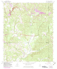
1967 Map of Glen Allen
USGS Topo · Published 1983About this map
The confluence of industrial extraction and rural community life is visible across the borderlands of Marion, Fayette, and Walker counties. Numerous Strip Mines and scattered mine shafts mark the northern hills near Rock City, while the New River winds southward through the center of the sheet. The town of Glen Allen serves as a local hub near the southern boundary, supported by the Burlington Northern railroad which follows the path of Turkey Creek. Small family and community landmarks, such as Piney Grove Sch and Hallmark Cem, are dispersed among the forested ridges and hollows.
Find a feature on this map
52 named features on this map. Tap any name to fly to it.
Don’t see what you’re looking for? This feature index may not catch every label — zoom into the map to look around manually.
Map Details
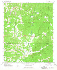
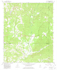
Editions of this 1967 Glen Allen Map
3 editions found
Other maps of this area

1953 · Birmingham
USGS Topo · 1:250,000

1956 · Birmingham
USGS Topo · 1:250,000

1956 · Gadsden
USGS Topo · 1:250,000

1957 · Birmingham
USGS Topo · 1:250,000

1958 · Gadsden
USGS Topo · 1:250,000

1958 · Gold Mine
USGS Topo · 1:24,000
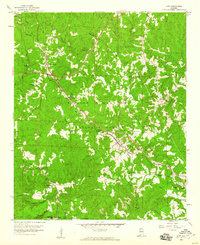
1958 · Lynn
USGS Topo · 1:24,000

1960 · Gadsden
USGS Topo · 1:250,000

1963 · Gadsden
USGS Topo · 1:250,000

1967 · Winfield SE
USGS Topo · 1:24,000