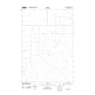
2012 Map of Glencross NE
USGS Topo · Published 2012About this map
Snake Cr and its meandering tributaries define the hydrology of this Corson County landscape, carving through the plains of the Standing Rock Reservation. The drainage network is particularly dense here, with Handboy Cr, Jolley Cr, and Veo Cr feeding the regional watershed. A notable landmark in the northeast is Trail City Railroad Lake, which reflects the intersection of early water management and the infrastructure of the rail era. The local transportation system is represented by a grid of rural routes, including Co Hwy-8 and several lettered branches like Co HWY-8f and Co HWY-8b, which serve the scattered farmsteads and agricultural plots that dot this high-plains terrain.
Find a feature on this map
12 named features on this map. Tap any name to fly to it.
Don’t see what you’re looking for? This feature index may not catch every label — zoom into the map to look around manually.
Map Details
Editions of this 2012 Glencross NE Map
This is the sole edition of this map. No revisions or reprints were ever made.
Other maps of this area

1952 · Whitehorse
USGS Topo · 1:24,000

1952 · Trail City SW
USGS Topo · 1:24,000

1952 · Glencross SE
USGS Topo · 1:24,000

1953 · McIntosh
USGS Topo · 1:250,000

1956 · Little Eagle SW
USGS Topo · 1:24,000

1956 · Little Eagle SE
USGS Topo · 1:24,000

1956 · Wakpala SW
USGS Topo · 1:24,000

1958 · McIntosh
USGS Topo · 1:250,000

1975 · Glencross
USGS Topo · 1:24,000

1975 · Trail City
USGS Topo · 1:24,000