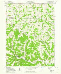
1962 Map of Glenmont
USGS Topo · Published 1963About this map
The Greenville Treaty Line bisects this landscape, serving as a historic boundary between the United States Military District to the south and the Congress Lands to the north. This mid-century survey reveals a region defined by its narrow valleys and prominent ridges, including Knox Ridge and Field Ridge, where the local economy was driven by extractive industries. Numerous Gas Wells and Oil Wells are scattered throughout Washington and Monroe townships, alongside several active Strip Mines and quarries.
Find a feature on this map
32 named features on this map. Tap any name to fly to it.
Don’t see what you’re looking for? This feature index may not catch every label — zoom into the map to look around manually.
Map Details
Editions of this 1962 Glenmont Map
2 editions found
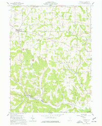
Other maps of this area

1912 · Loudonville
USGS Topo · 1:62,500

1913 · Brinkhaven
USGS Topo · 1:62,500

1913 · Coshocton
USGS Topo · 1:62,500

1914 · Loudonville
USGS Topo · 1:62,500

1915 · Brinkhaven
USGS Topo · 1:62,500

1915 · Millersburg
USGS Topo · 1:62,500

1915 · Coshocton
USGS Topo · 1:62,500

1943 · Millersburg
USGS Topo · 1:62,500

1943 · Coshocton
USGS Topo · 1:62,500

1943 · Loudonville
USGS Topo · 1:62,500